
And so we head up the valley, initially on a fairly flat and even driveable road...

...which turns into a rough track...

...and then gets rougher and narrower, though there was evidence 4x4's had been up, at least as far as the sheep.

But eventually the lacets kick in and we're on pure path.
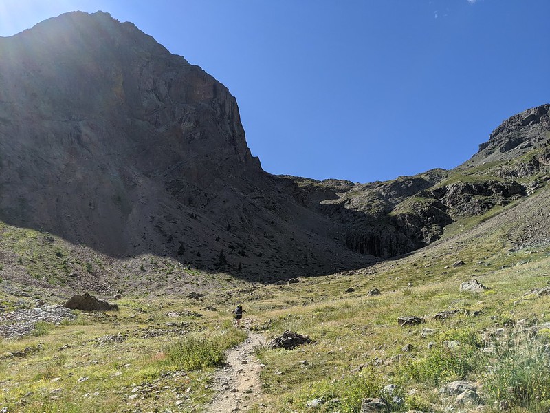
The lacets are long, but at last we're there:
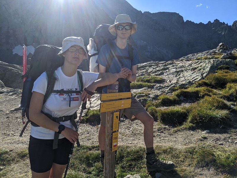
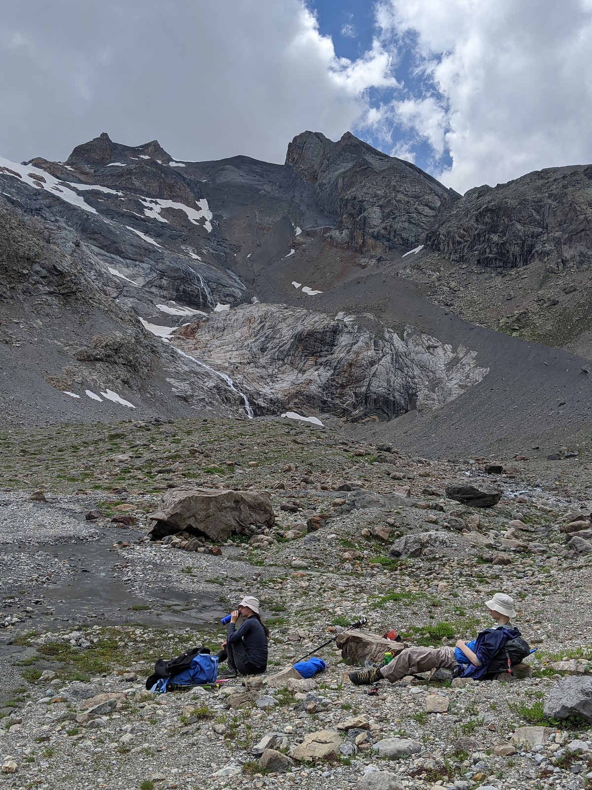
We miss book time (2:30) by 10 mins. The most comfy camping ground, as well as the last of the light, is up at the head-of-valley end; but there's no outflow stream, so I walk ~5 mins around the lake on the lakeside "path" - don't confuse it with the ascending path to the Col des Grangettes - to the inflowing streams. And also wander up tomorrow's path a little, just to check it is there (always do this if you'll be in darkness with head torches). And get a fine view of the lake, and tomorrow's route.

We go up the moraine ridge - starting from about where the last finger of sun points, on the R, trending up L, above the rock face. The sun is setting over the Dome du Monetier, which we aren't going to climb. All is calm and peaceful. By the time I've got back, D and E have erected the tent, inside one of the little stone walls that define convenient bivvy spots. It being such a beautiful night, I plan to sleep out. There's one other party around sleeping out; they ask us about the route and we tell them the little we know.

After that: cooking: porridge: D and E. We should have brought up more plastic mugs. And a third spoon. After that, and some cards, it is a matter of admiring the sunset before bed.

Tuesday. Alarm at 5:30 as pre-agreed; E and I get up to cook porridge, D prefers to sleep as late as possible and as-now-usual won't have any breakfast. Pack up, mostly into the big blue bag; and leave everything we don't need in the stone circle; off at 6:15. There's light.

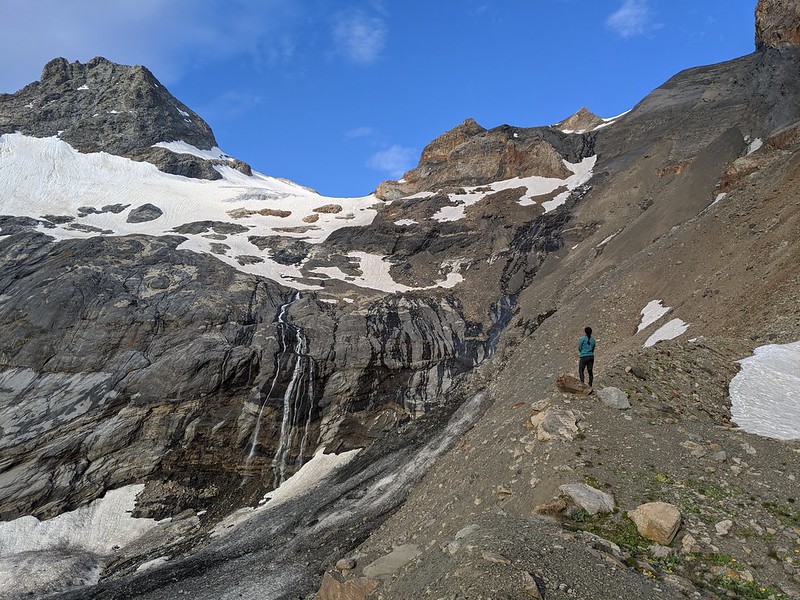
We'll start off following the obvious crest of the obvious moraine. After that it isn't clear from here but we'll trust in the track. A little higher up and we can now see the snow, but it still isn't quite clear how we'll traverse onto it.
A moody view looking back:

The answer to getting onto the snow turns out to be that we cross some unconsolidated scree with gullies, and then there's a delicate passage over smooth (and easy-angled, but with a poor run-out) slabs. So it's time to put on crampons, but we spare ourselves the rope to start with. The Other Party goes past us - they're fitter than us - but we pass them again as they put on their rope; we criss and cross for a while as we go up the (easy) snow; eventually their fitness wins out.
At last we get up to the col. It is quite dramatic; easy from our side, steep to vertical on the far side.

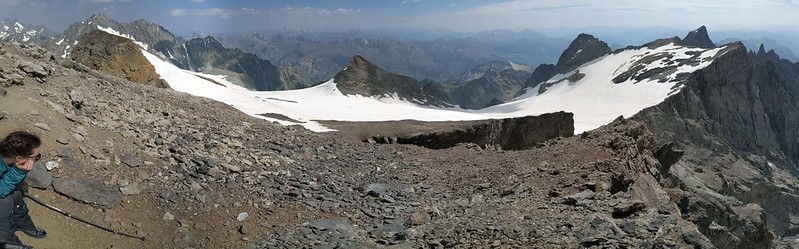
E and I push on up to the Pic du Rif, leaving the slightly unwell D to rest at the col. Here's a pano from the top. Center in the valley is the Pre du Madame Carle with the Glacier Noir; R is the Glacier Blanc; high point distant right is Agneaux; the valley L leads down to Ailefroide; and E is on the Pic du Rif.

Looking the other way, it's pretty rubbly on the Pic. The center peak is the "Dome" du Monetier, we spend some time wondering why it was ever called a dome - perhaps it used to be snowier. We came up from the low-snow point mid-right. Mid-left would be the way to the traverse.
After that it's time to go down (when planning this I'd dreamed we might bag a few other peaks while up here, but as usual now we're here, weariness says go down). Here we are back at the lakeside, refilling water bottles and resting our feet; and pondering the route. The forecast is for rain/storm pm, so we don't want to delay too long.
After that it's down the lacets and back to the car. I'm about 5 mins behind D and get rained on the last of the way.
I (now) see that by cunning choice of pix on the way up, and at the top, that I've made it look very dry - moraine, summit rock. But that's rather deceptive; we spent most of our time slogging up glacier.
No comments:
Post a Comment