Tomorrow: Lauterer See and Bremer to Nurnberger
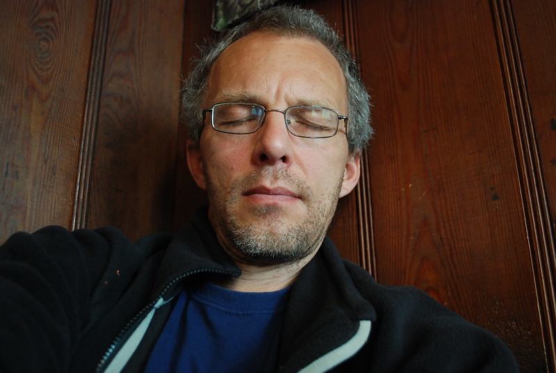
I covered the Habicht on the real blog, so I won't re-do that here. Having returned to the Innsbrucker I was moderately tired:

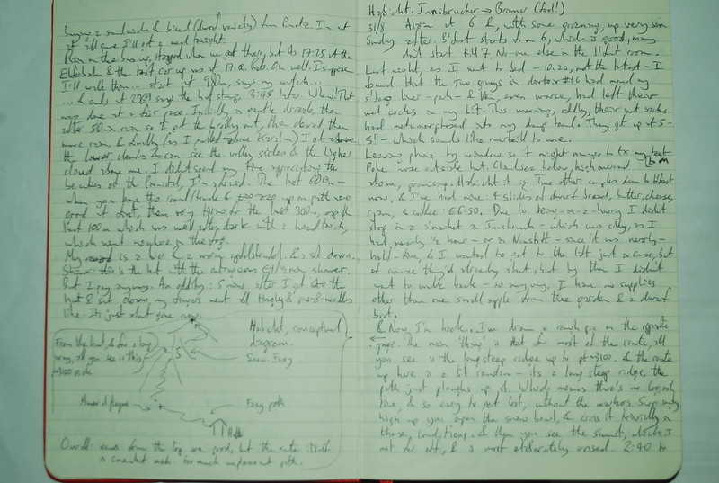
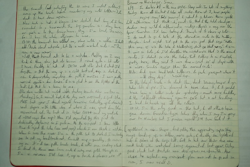
Although that photo is just a touch posed: its how I felt, certainly, but I'm actually awake enough to be holding the camera and pressing the button and carefully arranging the picture. Here are the diary entries:

and

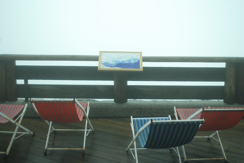
There aren't any pics of the hut xfer, because it was like this:

Perhaps not the entire way, but for quite a lot of it. By 13:30 I'd had a kleines bier, followed by a hauswurst and a kaffee, the rain had eased to "gentle", and I'd decided that I'd go for it. The book time is 6-7 hours, obviously I could do better than that, and I hadn't really got it into my head yet that its September not July, the sun does set by 8 and its pretty well dark by 8:30. It had happened yesterday, of course, but somehow I pushed that away.
Anyway: no, I couldn't do it in less than book time. In the end, what with wandering lost in the dark, being tired from the morning's Habicht, and carrying a heavier-than-I-really-ought-to-have sac, it took me 7:20. Sometimes it didn't rain. Here's the GPS track for the bit before it ran out of battery. The GPS track runs out at "the signpost" where you get a choice of the "normal" path to the hut (which descends about 200 m, crosses the river, and then climbs again; see the start of the GPS trace from 2013 for details) and the "klettersteig" route (which traverses to the Lautersee, then traverses to the hutte, but after the See there's a "klettersteig" section. Now I hadn't given much thought to this - Miriam and I, coming the other way, hadn't done the klettersteig last year because it was too snowy, so I didn't know what it was like - but at 19;45 in the gathering dark I decided to be "good", heed the warnings - "nur fur
This was a mistake, for two reasons: firstly and known only in retrospect, the klettersteig is easy. Secondly and really-I-ought-to-have-remembered-in-advance the "normal" route isn't easy - its not ata ll like the valley path up to the Innsbrucker, it wends its way up through a rock band and is quite hard to find - even with frequent paint-markings - in the dark, by the light of a head torch, with rain spattering my glasses.
At the river I lost the path for a bit - this is easy to do, because you have to rock-hop over a wideish river. In the daylight, this would have been no problem. After casting around for 10 mins and refinding the path I found myself threading up through steepening slopes, sometimes rungs let into the rock (at least I knew I was on track) and seriously wondering if I would have to bivvy for the night. Which wouldn't have been fun as by next morning, there was snow. Happily, fear gave me strength and the bit I was somewhat dreading - regaining the 200 m I'd lost in descent to the river - was no problem at all. In the end, I saw the distant lights of the hutte outlining the cargo-lift pylons and stumbled in over their newly planted reed beds and was safe and comfy and warm and dry.
Oh, and I don't seem to have said much about the scenic quality of the path. It wasn't really a great day for scenic quality, as I said, and I spent time either hurrying on or feeling tired. The end result - after a few days when my mind had settled down - was a feeling of great triumph.
No comments:
Post a Comment