Sunday 19 October 2014

Amsterdam Man IV

TL;DR: 3:58; a bit rubbish.

Friday 17th: with E, drive to Harwich and onto ferry. To the cafe and have a drink each and read for a while before we head for bed.

Saturday 18th: off ferry and misc trains to Amsterdam. Points to watch: make sure you get off at Schiedam for Schipol for Amsterdam Zuid, otherwise you have to get trams through town from Centraal. Not that's particularly terrible anyway. Lunch at Bakers + Roasters as last year; and again it was pretty good. Meet B-J and J and their infants; B-J is also running tomorrow. After, Si and I to the expo to pick up my number, whilst Becky takes E shopping, as befits a girly. Then back to theirs for some much needed relaxation. Remember, this year, to make sure my watch is charged up.

Oh, slight oddity: this year, Paul and Sarah C-H, and Juliet, and Bailee, are also doing Amsterdam. But because they flew over as a group we haven't managed to meet it. Perhaps we'll meet on the start line?

Sunday 19th: up at 7:30; chat in kitchen with B who is kindly making me porridge again. E is still asleep - or at least, not up - in the dining room. Si takes me to the start and I hand him my coat and go in. It becomes obvious that not having arranged to meet the others means its going to be luck, cos its crowded. I knew it would be. Spend most of my pre-race time in the loo queue, of course, but do manage to find the others as I'm heading towards the start pen. So cross the start with Paul and Bailee; and for the first few km we pass and re-pass. Because I'm slow, Bailee ends up passing me at 28 km and Paul at 35.

Of the race: not satisfactory. Not just my time, but I wasn't somehow together for it. The start was too crowded, and the pace wasn't comfortable, and I couldn't settle. Later on the pace was OK but I just wasn't strong enough. And I can't even show you the GPS trace because my silly watch lost it :-(. Well, you can see the official results every 5 km, which is good enough really. Which shows no catastrophic fall-off: just not fast enough.

How do I interpret this? As a useful wake-up call I think. Throughout the summer - indeed, the year - I made too many excuses about being too busy at work to run.

Note: at about 10 km the race passes the end of Parnassusweg, about 100 m from their place. Next time ensure that E is watching.

Walk very slowly back to Parnassusweg, and collapse for a bit. Well, for quite a lot in fact. Evening: to Zuid for train, comedy of the platform being long and the trains short - watch out for that - but we get to the ferry on time. And so home, comfortably.

* Amsterdam Man (2011)
* Amsterdam Man (2012)
* Amsterdam Man (2013)

Sunday 12 October 2014

Stubai: Sunday 7th: Sulzenau: rest day

Previous: Stubai: Saturday 6th: Aperer Feuerstein in fog from Nurnberger; Nurnberger to Sulzenau
Next: Wilder Freiger by the Lubeckerweg

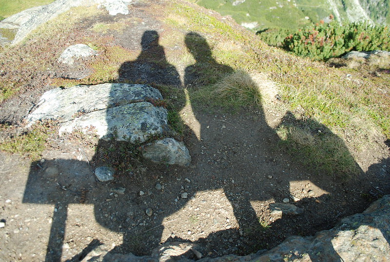
A quiet day. We ignore my alarm, which goes off at 7, and lie in until 7:45. Std.fruhstuck and watch the others heading off in their various busy directions. The weather isn't quite warm enough yet to sit on the terasse so we wander off towards the Grunausee, without really intending to get there. We sit at the viewpoint and play games with our shadows:
  DSC_4432

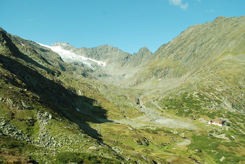
and admire the view upvalley:
  DSC_4434

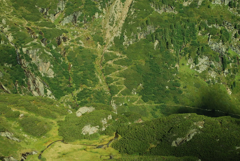
(the path to the Dresdener is over a little col, the one just R of the center on the skyline) and the ziggy path up:

DSC_4430

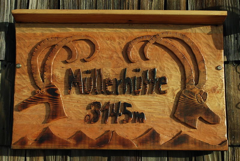
We lie in the sun in the heather and read. We go on to where the path crosses the river and rest / read there; I'm reading "Dracula" on the Kindle. Lunch back at the hut: the terasse is crowded so we eat in: kasebrot, and (cheese, spinach) noodles with kraut. After its quieter and we sit on the terasse: decide that tomorrow we'll off to the Dresdener in the afternoon, and in the morning I'll look at the Lubecker Weg. The Guardienne agrees that the 3h to the Mullerhutte that the sign gives only makes sense if you're going via the now-deprecated and de-cabled col. She also asserts that the Lubecker Weg is "real climbing" and I quietly ignore that.

Later to the Blaue Lacke which is still and quiet. We walk slowly as befits old folk; sit and watch the lake which, whilst very blue, isn't very photogenic. Back through the weird field of weird cairns, to dinner.

DSC_4967

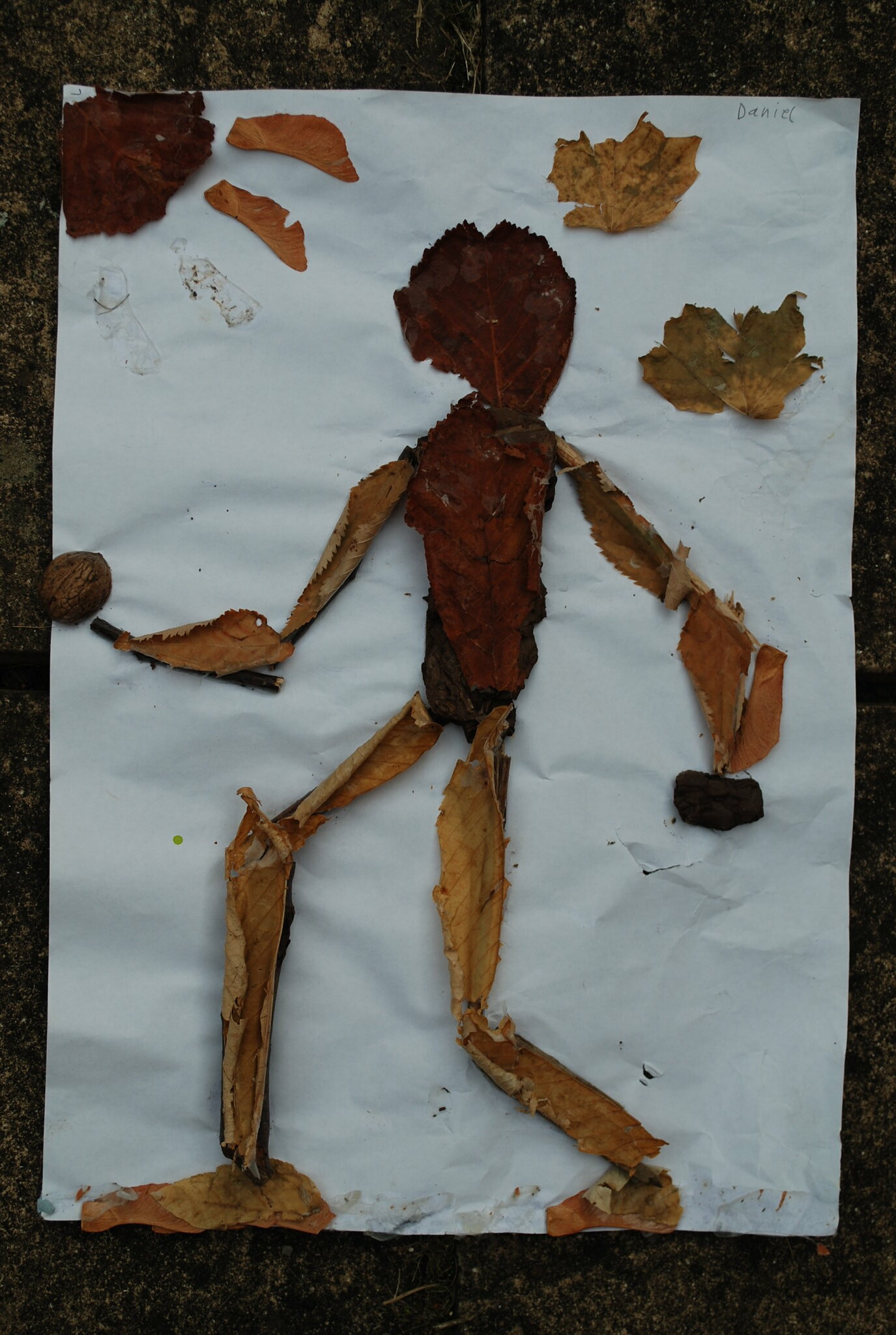
Mr Leaf and Bark Man

Mr Leaf and Bark Man has been gracing our kitchen for many years, since Daniel brought him back from school. I can't even remember which year... lets say, when he was about 10. I like his jaunty stepping out style. He's survived fairly well, though a few bits have fallen off. But now its time for renewal so here is his memorial.
   DSC_4907

Wednesday 8 October 2014

Stubai: Saturday 6th: Aperer Feuerstein in fog from Nurnberger; Nurnberger to Sulzenau

Prev: Friday 5nd September: Mullerhutte to Nurnberger
Next: Sunday 7th: Sulzenau: rest day.

After the Zuckerhutl I went back from the Muller to the Nurnberger, and decided to try the Aperer Feuerstein, which is explained in full detail on the Nurnberger's website. As it says, its an interesting alternative to the path from the Bremer to the Nurnberger which I'd wimped out of a few days ago because it was cloudy and snowy and not a good day for venturing off the beaten track. But I was quite keen to look at the Feuerstein, and decided to be good by going for the Aperer first. Which made it a short day, so there was no need to get up early - ahem, but see later; I left around 8:30 with some hopes of visibility.

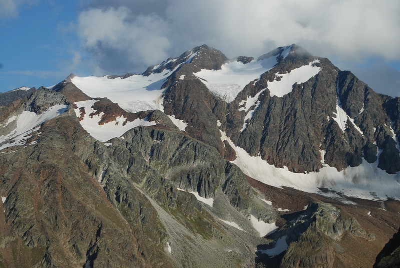
Before I show you the pix in order, here's an out-of-order pic of the Feuerstein group taken from the Niederl (the pass from the Nurnberger to the Sulzenau) at about 6 pm:
DSC_4391

The skyline peaks are the Feuersteins: Westlich (3245 m, R) and Ostlich (3268 m, center). Its just about possible to see the summit cairn on the Aperer F in the full-size pix - its the greyish curvy ridge off towards the L just on the skyline; to its right is the distinctly redder pt 3038 not on the skyline, with the wide glacier to its R. The bottom of that pic - the snow patch in shadow at the R - is the top of the bowl visible in the top R of the pic below, which is taken from below as I walked up. Here's the GPS track for the circuit. I start off going down to the river as though to the Bremer, but then turn R up valley not L. I also have a slightly more informative picture from the afternoon return, when the cloud had cleared somewhat.
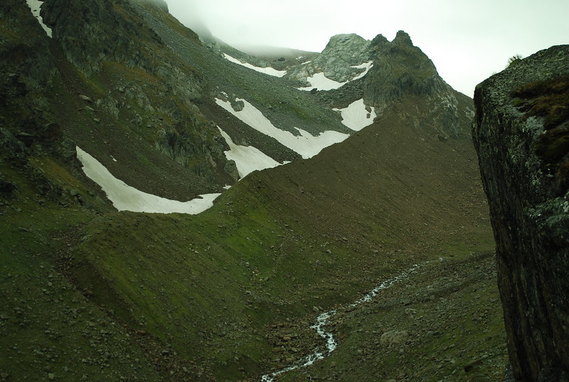
DSC_4341

I'd expected the path up to the Feuerstein to be hard to find, but no. It is but a thread, but its clearly there; later I realise this is because of people going up to the Feuerstein itself. There's a rather nice path up the rather nice moraine - I like moraines. At the top of the moraine the path goes into the bowl inside the peaks on the R, then curls East and follows another moraine crest up, with the Grublferner to your R. At that point I'm in the cloud, and things become unclear.

At around 2770 m I lost the track and veered too much R wards. When I realised I'd lost it I waited for a break in the cloud - no dice - then just faintly heard a noise which turned out to be the tapping of a ski-stick on rock - it carries well, and is distinctive even at the limit of hearing. Moving in that direction I just saw a bod descending as he moved out of range, and so re-found the path.

Somewhat later at 2900 m I'd gone too far East and would have ended up at pt 3038 m, except I met two bods who pointed out the error of my ways. In clear conditions I wouldn't have gone wrong, and if I had could just have cut across to the correct path; but in the cloud I descended (following them; I could have just retraced myself on the snow) and then found the correct path up. This wasn't helped by my now-20-year-old map having a very different shape to its glaciers; I really ought to get a new one. I leave my sack at the NurnbergerScharte - there's a cairn -, 2914 m, from where its a 15 minute scramble to the summit, 2968 m:
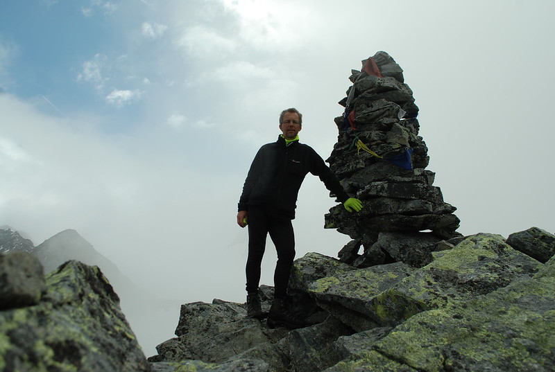
  DSC_4354

Views are still, well, here's the view up from the pass towards pt 3038:
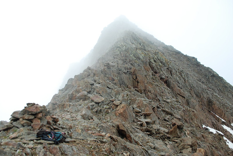
  DSC_4357

But the views down exist. Here's looking towards the Simmingjochl, with the Zollhutte just distinguishable. What a difference a few days make: all the snow is gone. The lakes in the pic are shown as glacier on my map; but the glacier has retreated over the years.
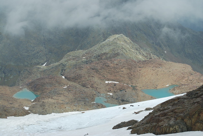
   DSC_4358

At this point it would be nice to rest and admire the views; but I got off late and I have miles to go before I sleep. But really this is a whole-day circuit, contrary to my blase assumptions of earlier. So, onwards. Pick a random path down the snow and to the pass. Descend. The Paradies is lovely but I've shown you that before; here's a nice still reflecty one in a little pool somewhat higher up:
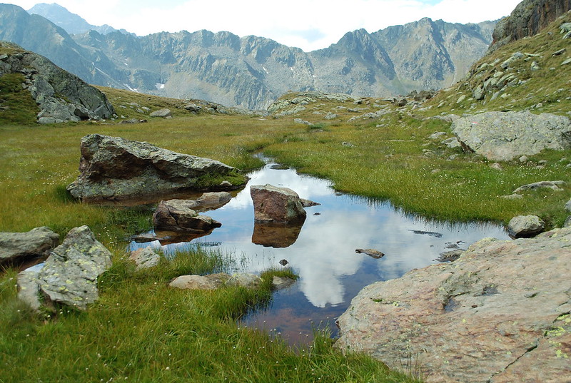
  DSC_4372

And so back to the Nurnberger. I set my GPS to recharge - it has about 7 hours in it - and sit out enjoying the sunshine, the Radler, and the Apfelstrudel. Then I have to pack my rucksac, and I reflect that bringing the Macpac as well as the Spire was a mistake: the correct solution would be to be a little more brutal in my packing - fewer clothes for cure, this becomes obvious as I accumulate a bag of stuff I'm using and another, lower, of stuff I just don't use - and then I can save myself another 2 kg by leaving the big sac behind. Farewell to the kindly Guardiennes.

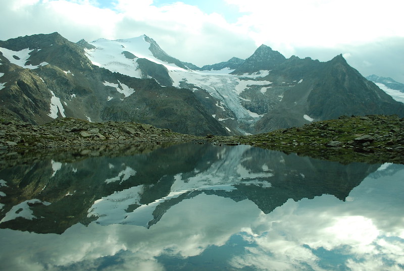
I've agreed to meet M at the Sulzenau. At one point I'd offered to meet her at the Alm at 5; but that's not going to happen: set off at quarter to five, having offered her 19:30 at the Sulzenau by text. From here its a shortish - 50 min - slog up (GPS track) to the Niederl. Pause to admire the bench and the views back towards the Feuersteins - at last, see top. And indeed, over the far side. I get the quasi-classic view of the Wilder Freiger reflected in the lake above the Grunausee:
DSC_4403

And thence to the hut: 2:20 total for the crossing. Hello M.
DSC_4966

Monday 6 October 2014

Stubai: Friday 5nd September: Mullerhutte to Nurnberger

Yesterday: Wilder Pfaff and Zuckerhutl
Tomorrow: Saturday 6th: Aperer Feuerstein in fog from Nurnberger; Nurnberger to Sulzenau

Today dawns fair, which seems a shame as it would have been more useful yesterday.
  DSC_4302

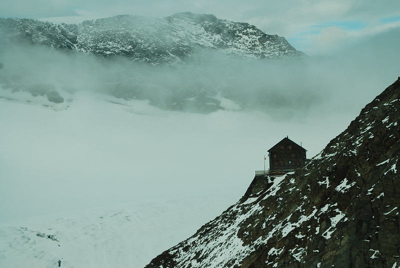
Looking closer, I can see the Z behind the WP, but it doesn't look like itself, so to speak. After a leisurely breakfast Anna and Tobias and I head up the WF side of the glacier, at their request; they aren't quite as blase as I am about crevasses, and who knows they may be correct (My pic shows us all roped up in the mist, I'd forgotten that). However, by the time we actually get up onto the snow - you can traverse straight from the back of the hut, don't descend first via the way I came up. The GPS trace would show this except I forgot to turn it on to start with - the cloud has come up again and we can't see a thing, so crevasse avoidance is a bit random. Here's a last view of the hutte before the cloud closes in:

DSC_4305

Up to the wetterstation, and then down the what-I-think-is-familiar path, but as usual whenever I think that there's a twist, and in this case the twist is that in the poor viz I've missed that whilst you can usually plunge down the nice snow instead of the nasty rocks, when you get to the last band before the "snow bowl" you need to make sure you don't descend too far. We do descend too far. Were I alone this would be no problem - I could just forsake the path, descend to the unnamed lovely lakes at ~2488 below the Urfallspitze, and follow the river down; a pleasant route. But A+T are going to the Sulzenauhutte and so need to get to the Seescharte, and I can't abandon them having lead them astray, so we slog back up, only about 50-100 m, well all right nearly 100 m says the GPS, cross the rock band and get back on track. And finally to the scharte where we parte:

DSC_4315

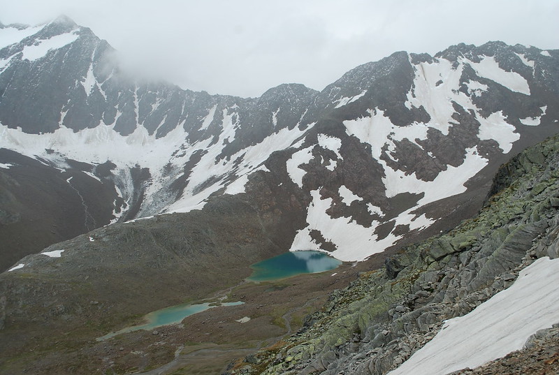
A little lower down I get a view across to the (as far as I know un-named) lakes, the un-named ridge behind it rising up to the Hohe Wand I think:
  DSC_4316

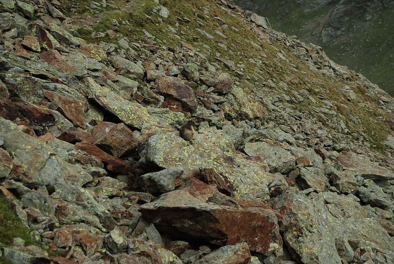
On the way down I hear and see marmots, which is not unusual, but I also get close enough for a not-just-a-pixel photograph, which is unusual, so here it is:

DSC_4320

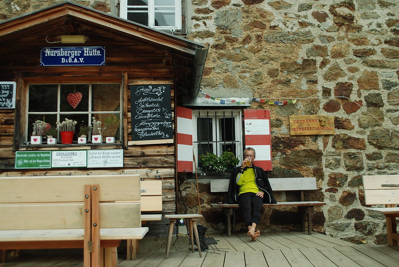
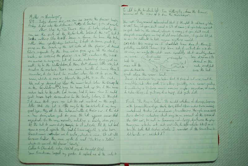
And then ein Grosses Radler at the hutte, and sit out reading The King in Yellow, which is weird (the initial story is definitely weird, but good. A later one does indeed turn out to be about the siege of Paris, as I guessed. And then the book segues into romance, which is odd. There is linking, in terms of style, and of characters, but the overall transition from horror to romance is unexpected). Ah, but I can now look it up, which I couldn't then. The Guardiennes remember me and smile, which is nice. As are the hot showers.

DSC_4327

Some Frenchmen beg my pardon and ask about the WF. They seem astonished when I suggest it may take them 6 hours. Was it OK? Yes, if you don't mind a bit of snow on the path and steep snow slopes higher up; if you take care not to get lost in the cloud, which is easy; if you're fit; and so on. Its almost impossible to give useful advice.

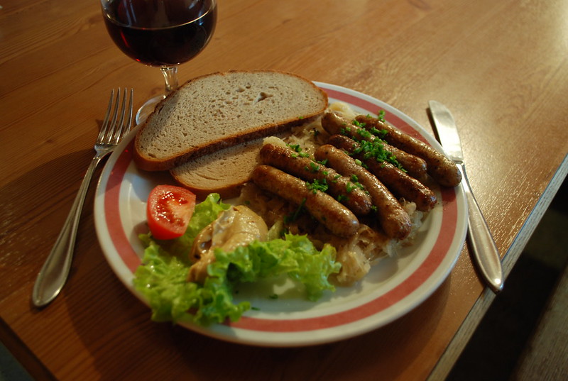
 Oh yes, and in the evening number one: food: six Nurnberger sausages on sauerkraut, with wine!
  DSC_4330

and number two: music:
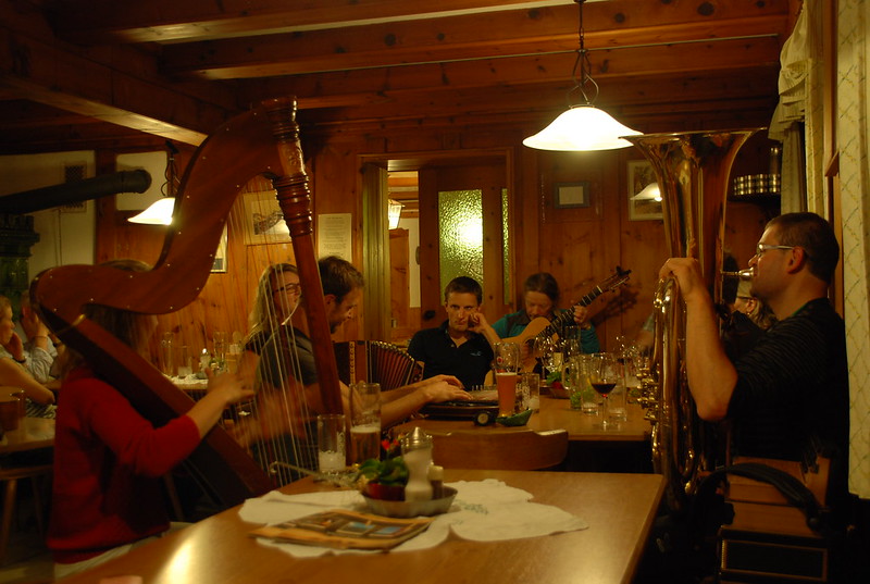
  DSC_4333

That didn't happen every evening.

DSC_4965