We're called at 5, because that's when you're called if you're climbing Gioberney from Pilatte. It is an F; in the Rebuffat book there's a lovely snow ridge that attracted me years ago; but I fear it is gone now. Breakast is mountain bread, butter, jam, museli, coffee for me and hot chocolate for D and E; M stays abed. There's one other party; we faff repacking and they get off ahead of us, which is fine by me. When we get out there's a half moon illuminating the night, and up above the lights of the other party just disappearing over the lip. We'd recced the route start the day before and find the cairns and markers; by 6:30 it is light enough to turn off head torches.

The route goes up the shoulder of the W bank of the Pilatte glacier, whose basin you see here. The high point on the right is les Bans; then le Pointe des Boeufs Rouges (really) and the Pointe du Sele, with the col du Sele over to the Refuge du Sele (and thence down to Ailfroide) between those pointes. All of that basin "ought" to be easy snow, not hideous open crevasses - of those, more tomorrow.
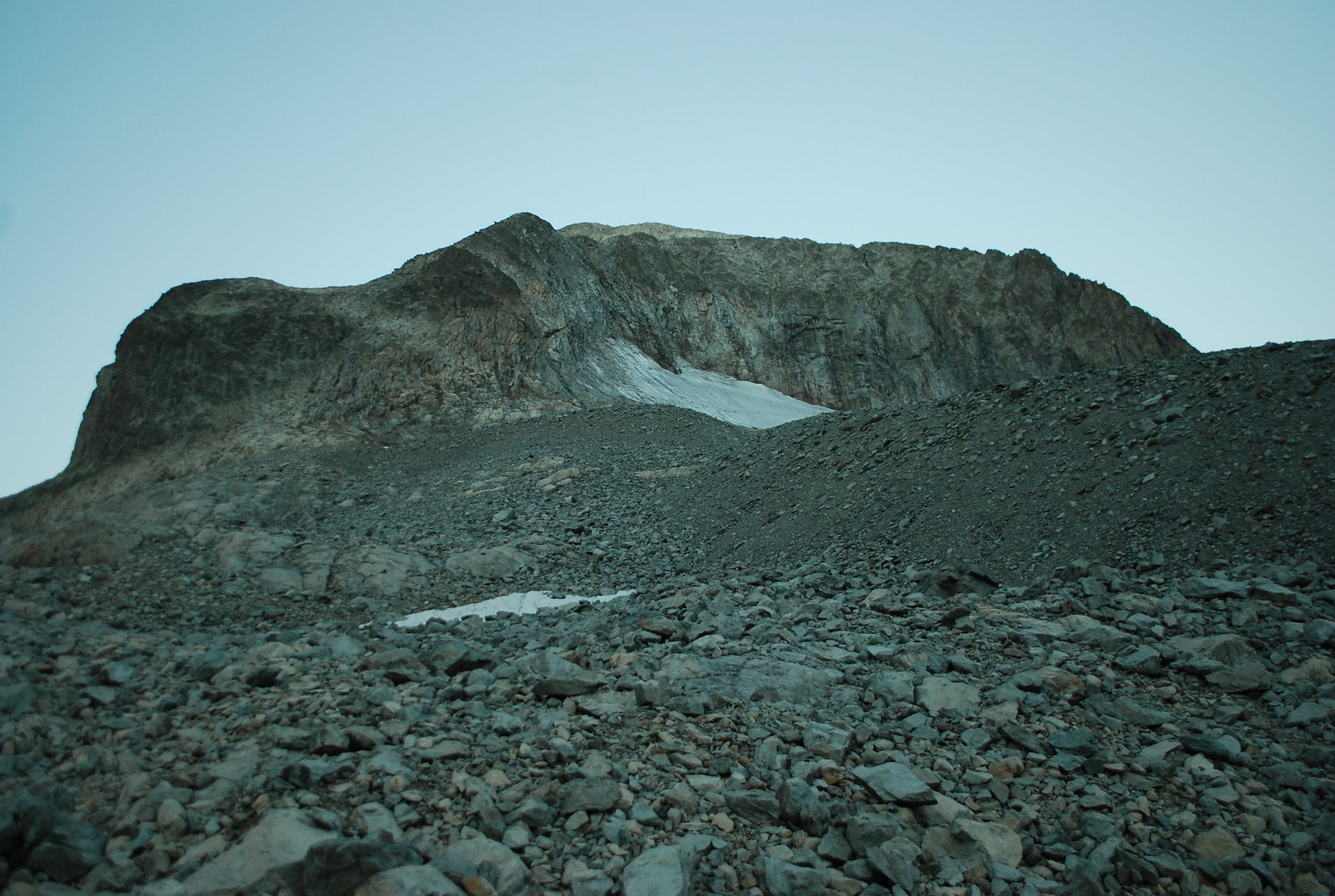
Looking upwards this is Gioberney, although the summit may not be quite visible; our route takes us around the cliff on the left.
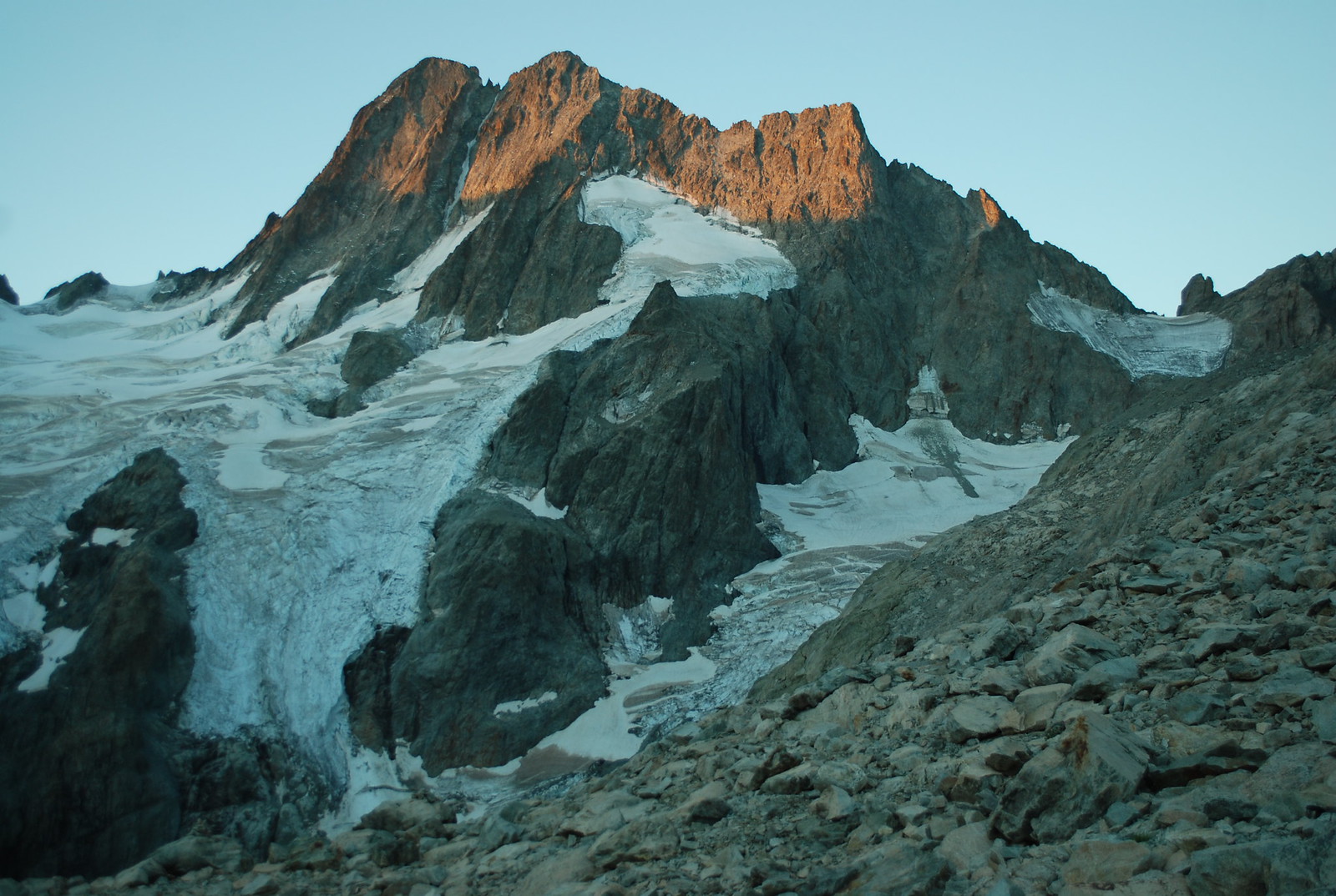
Looking across to the north face of les Bans; compared to my map (from 2011. Now I look, the map even has a general note telling you that they're melting back) the glaciers are massively eroded. Maybe it would be a good idea to come earlier in the season next year when there's still some snow around.
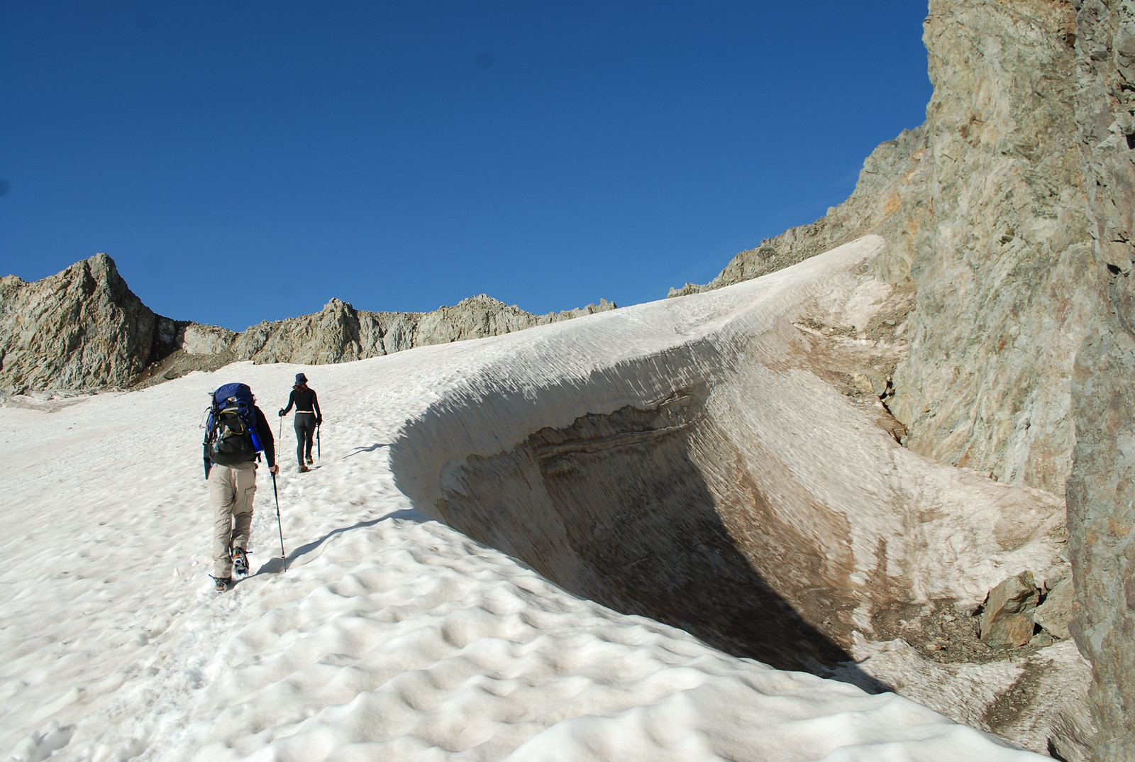
The route turns and we're on the now-rather-small glacier du Gioberney, heading up to the col at 3238. Finally we can almost see our objective, I always find that reassuring. Notice that we aren't troubling ourselves with the rope - that is safe and secure inside D's sac, borne aloft by his strong young shoulders. Because this is probably more neve than glacier.
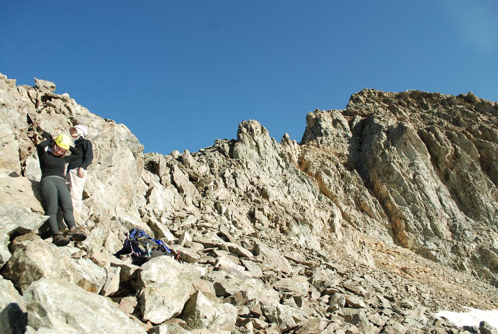
At the col! We can leave sacs and axes and crampons behind, but we do take the precaution of putting our helmets on. D wittily has his sunhat on underneath; well, it works for him. The route - off towards the skyline on the right - is somewhat free form form here and is, needless to say, much easier than it looks, assuming it looks difficult to you.
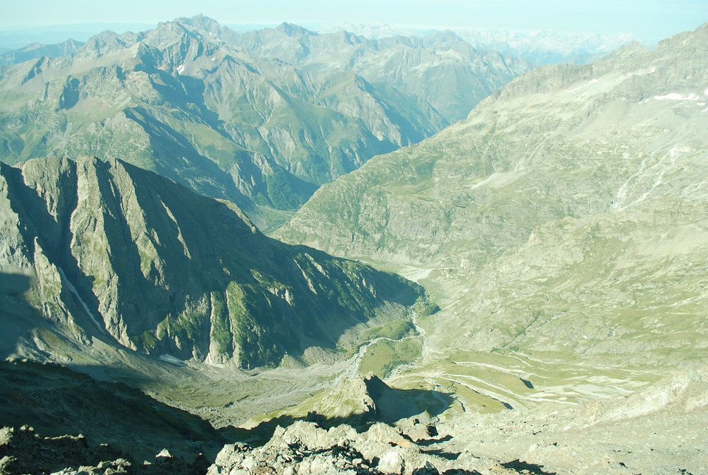
From the col you can look over the far side. Just visible just over the dark ridge is the Chalet de Gioberney; the even lower valley is the D480 to le Bourg; further down that out of sight is La Chapelle en Valgaudemar. In theory visible on the slopes to the right is the Ref du Pigeonnier, probaly on the ridge opposite the dark ridge.
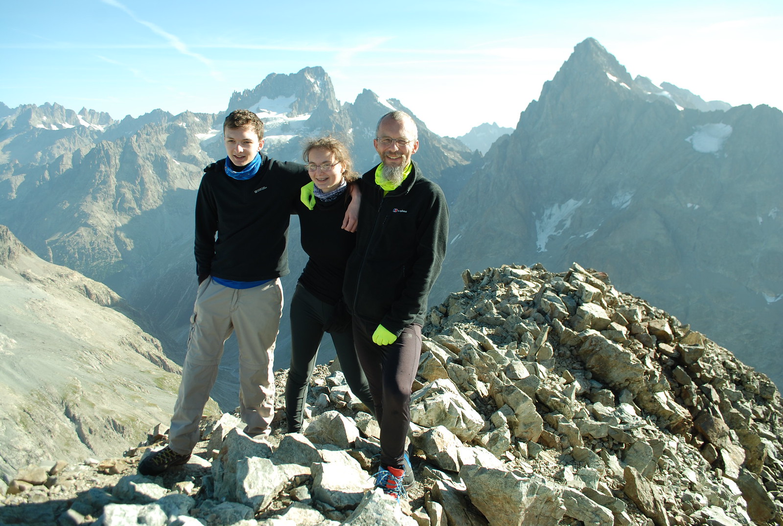
And then we're at the summit. yes, it's a pile of rubble. It is now 9 am; we took 3 hours, which is acceptable. It's a warm sunny day so we lounge around admiring the views, especially the crevasses of the glacier basin, and speculate how the path to the Col du Sele is supposed to work: I can just about trace out something that might work; you can never tell from a distance.
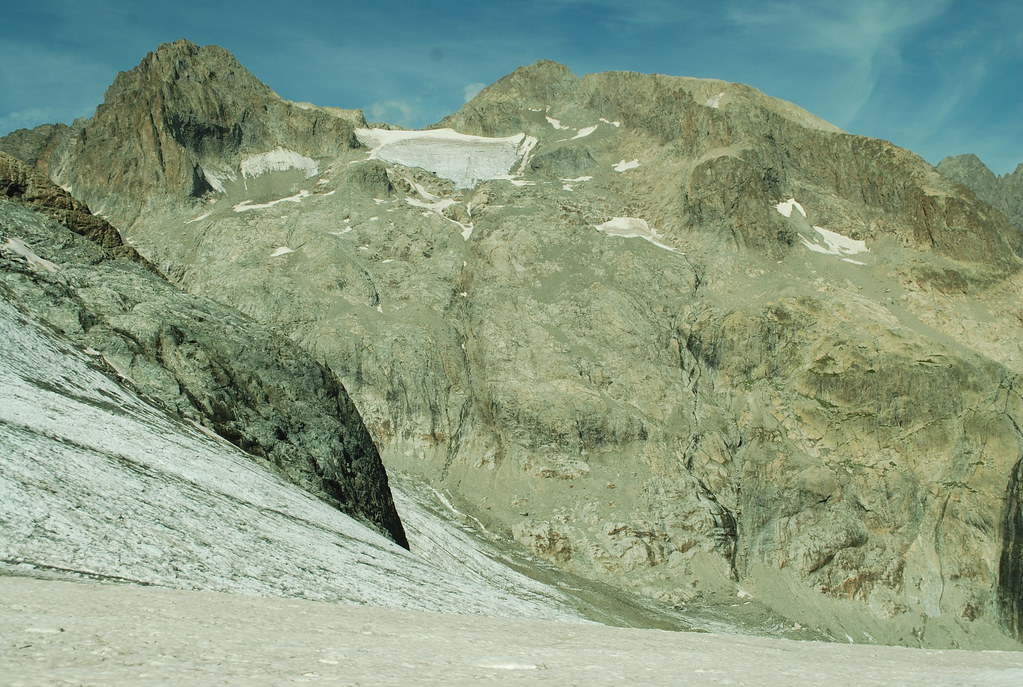
To help orientate, here's a picture taken from the glacial basin looking up towards Gioberney (right) and the actually-slightly-lower Pointe Richardson on the left, with the Gioberney glacier in between and the col central.
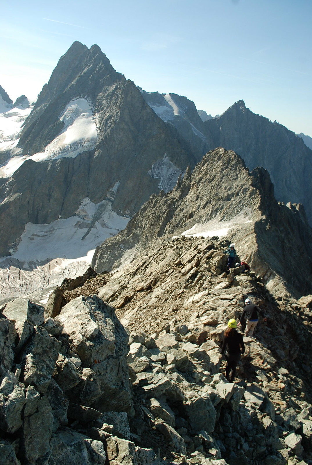
To finish with, here's a view of the descent ridge across to les Bans, featuring D and E. The descent also takes 3 hours, because we don't hurry; we arrive in time for galettes for lunch which is the important bit. We're tired, except perhaps for D, so happy to eat, drink, read, play Skulls and floating bridge.
No comments:
Post a Comment