This is week 3 of the summer holiday: week 1 was the Ecrins (Miranda and I); week 2 was Italy Cultural (all of us; Turin, Florence; Venice) and week 3 is all of us doing via Ferrata in the Dolomites, and the drive back.
A note on the pix: I can't put them all up here. Click on any for enlargements, and then you can click through them all.
Next: Tuckett to Brentei.
Saturday 18th: Venice to Graffer
I did an early morning run in to Venice across the causeway, having recced it the day before, then walked (via the quieter Accademia sector) in the relatively cool morning to St Mark's square. I was there too early for the cathedral, so after a sit by the sea looking out I walked back, enjoying the city. After some faff we leave at 11, it is nominally 3 hours to Madonna di Campiglio, but who could have guessed it? Roads can get quite busy on a Saturday afternoon in summer. So we don't get there until nearly 4. That leaves us ever-so-slightly pressed for time: we drive down to just above the pedestrian bit where a little square has a shop to sell us a map and some chocolate, then back up to the Groste cable car carpark, where the last lift is at 5, and hastily do what we really should have done at leisure some much earlier time: sort through all our now rather jumbled kit for what we want to take and what we don't. We mostly get through this, I manage to leave behind my headtorch (but I don't need it) and fail to find my cap (so I wear my white "panama" instead, which is fine). We've negotiated 5 days parking - they seem oddly unfamiliar with the idea that people might want to do the via ferrata tour - but they want us to put the car in the "garage" for safety, happily this is just over the road, and so we get the 10-to-5 lift and we're on our way!
The lift is fun of course and sweeps us up. We have a moment of doubt if we're really supposed to get off at the mid station, but we are, so we do. Stop briefly for a bier and to adjust packs for walking. Then it's a half-hour walk up to the Rifugio Graffer. This was curiously quiet, which gave us a quite erroneous impression of how busy future refuges would be; I'm now pretty sure it is quiet because you can just as easily sleep down in Madonna, and get an early lift up.
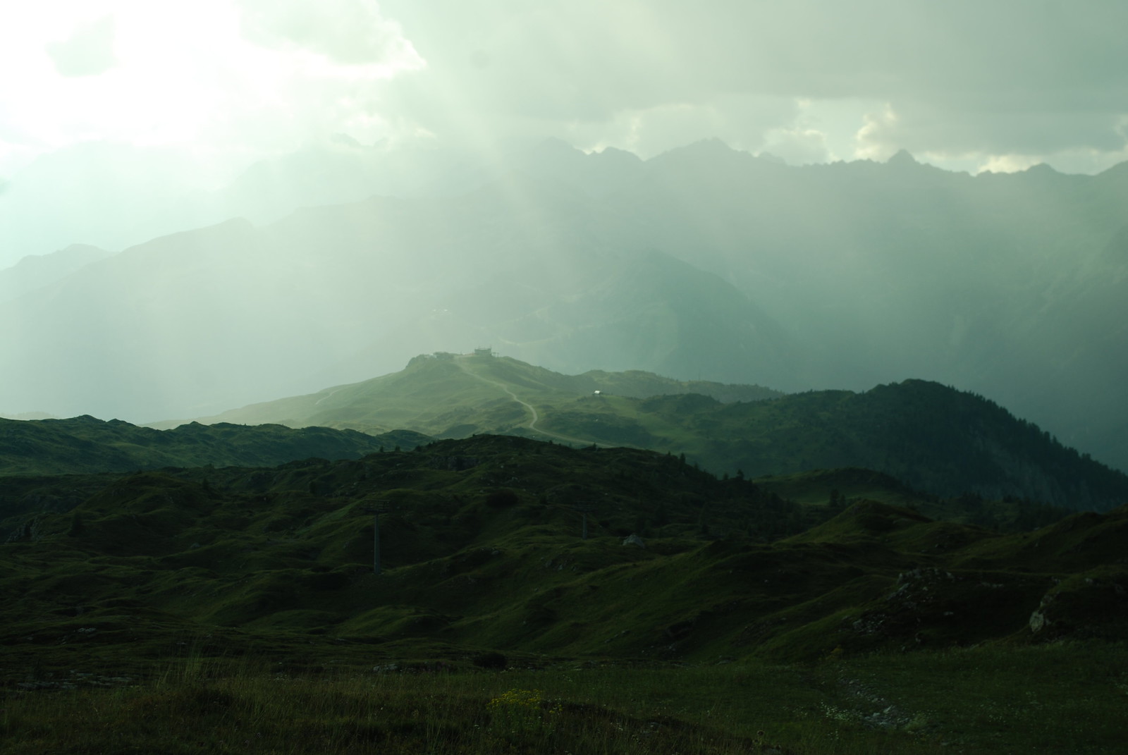
I'm reasonably sure this pic shows the view down from near the Graffer to the mid station.
Soir: decent meal, shower (3 euros!), cards, write. We have two 2-bed rooms, scrupulously clean as is the entire hut.
Sunday 19th: Graffer to Tuckett
GPS track. A bit more than 5 hours, a bit less than 10 km. Senterio Benini.
Room comfy overnight. Wake 6 due to noises off, up 7, b'fast in std hut style (tea-or-coffee-or-milk, bread-butter-jam-cheese-milk), pay E177 total, conveniently by card since cash is another thing we're slightly short of in our hurry (but don't be deceived: this was the only one that took cards).
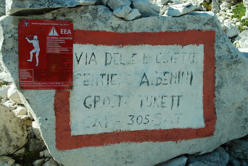
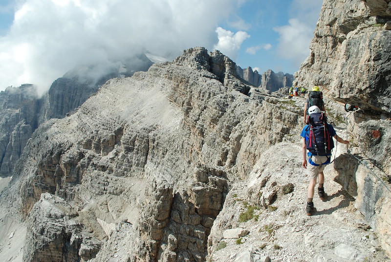
We're on the Senterio Benini. 305 is the long-distance route. You could probably survive without maps if you had to, the signs are generally good. Notice the nice red plaque telling you to how to via ferrata. I found today's route a bit confusing, once on the VF, in that it was hard to tell quite where we were, or where we would be going next. Sometimes you could see where you were heading, often not. Subsequent days were clearer, or perhaps I paid more attention to the route.
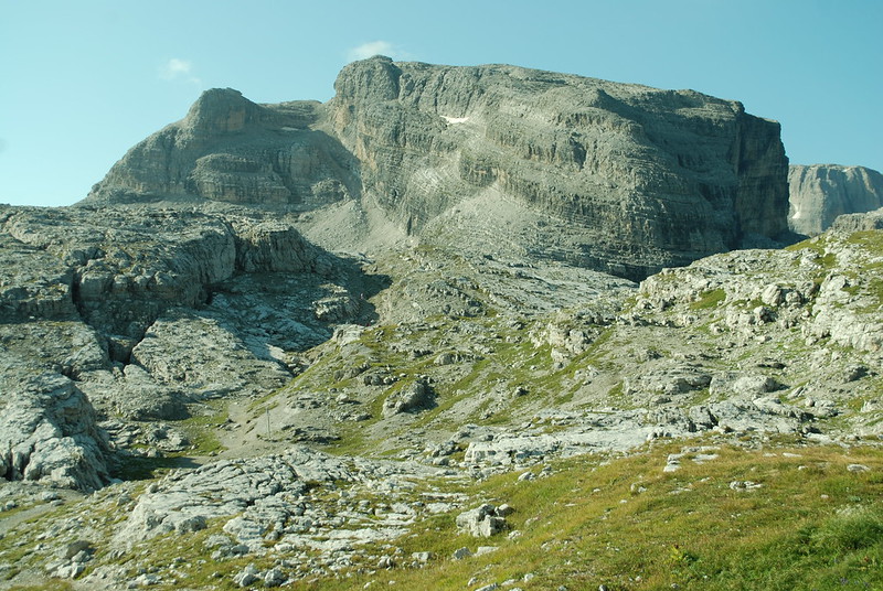
Cima Groste from the north, from not far off the cable car top station. It can be climbed, I later discover - probably up the central gully - but we didn't try to or even think about it. Our route goes up to the base of the central rubble fan, then rises gently leftwards to the skyline on the left, then curves round out of sight back rightwards behind the ridge where, if I recall correctly, the via ferrata starts with the ironmongery. The rock is impressive, alien-spaceship-like (actually it reminds me of this).
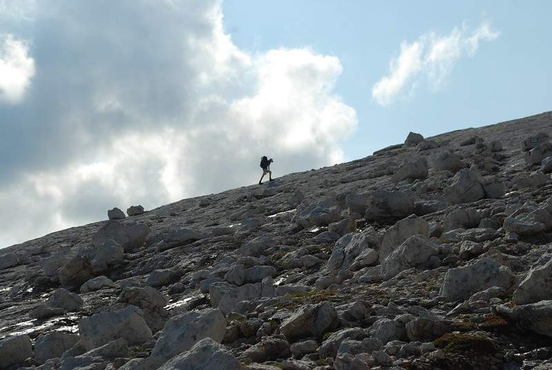
Daniel, of course, makes his own way:
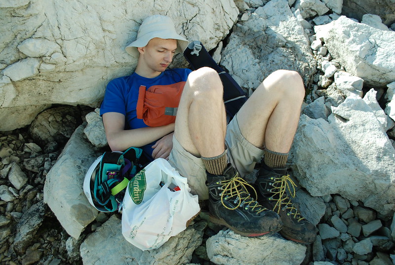
And is desperately photogenic when resting. He just folds up so well:
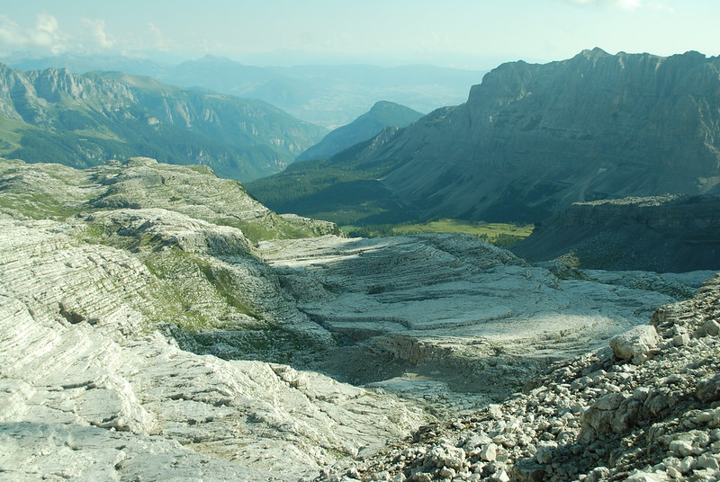
The landscape is weird, here it looks poured, layered, like rice paddies of stone. This is from the shoulder in the previous picture, looking NEish, just before the VF starts properly.
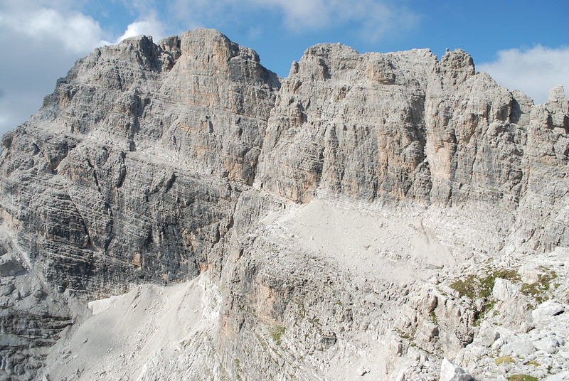
From the "corner" of Cima Groste, looking SSW to Cima Falkner. The path is the obvious line at mid-height rising leftwards; if you click for the hi-rez version you can see people to the L and to the R of the rubble slope.
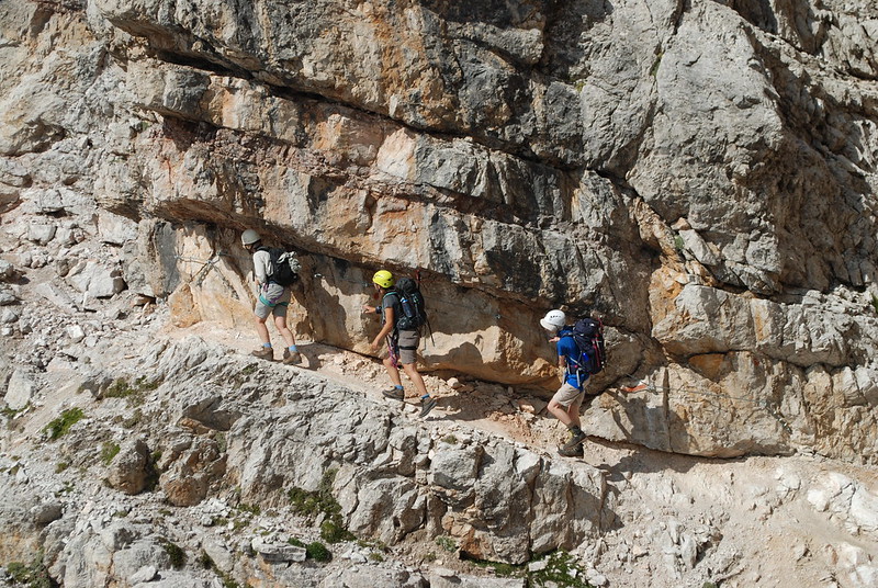
MED on a "typical" section, click-to-enlarge and you can see the cables and stuff. Here is it zoomed out for context.
Somewhere around the Bocca alta di Vallesina things got particularly confusing, in terms of directions, but it sort-of didn't matter because we were heading down north into the valley towards Tuckett on path 315, and that worked. Here's a view from around about that point. D and E on the cable to the right, M's rucksac just visible. There was some kind of long descent, which I can't quite fit in - see pic, note crowds - which was pretty dramatic looking back (zoom in, spot-the-people).
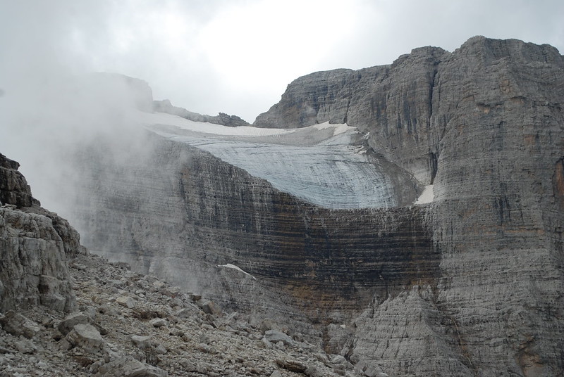
Round the corner and heading down, looking S to the hanging glacier on - I think - Cima Brenta.
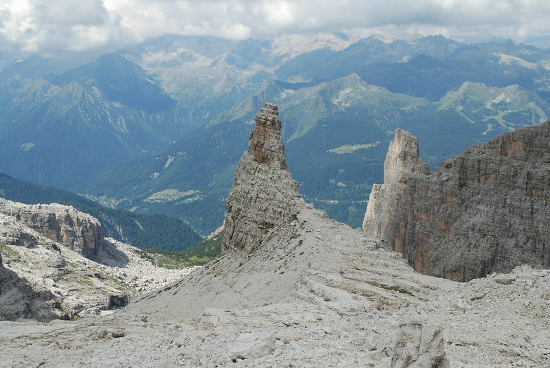
The Castelletto Superiore. Like a giants tower, with giant spiral steps leading to it.
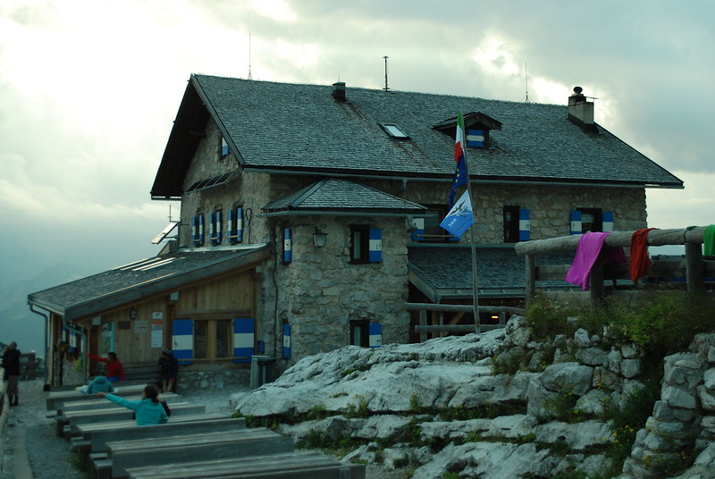
Here's a view down towards the hut; and the hut itself, taken rather late in the day. We arrived at some sensible time like 2, but the place was heaving. We sat outside, I slept for quite a while with my hat over my eyes. They weren't quite sure if they would have space for us, and couldn't really say until late, maybe 8... but of course by the time we'd stopped for lunch and dinner it was too late to throw us out, and they did have space. But, the lesson is: book ahead. We end up with beds in the top of the second building. My cheeseburger for dinner was enormous, but good.
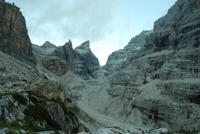
From the hut one can look back ESE up towards tomorrow's pass and today's route. The obvious notch is the Bocca Tuckett, tomorrow's route. Our path today was the valley not really clear to the L of that, L of the sharp tooth that is the Castelletto Superiore.
No comments:
Post a Comment