Saturday, 6 September 2014

Stubai: Saturday 6th: Aperer Feuerstein in fog from Nurnberger; Nurnberger to Sulzenau

Prev: Friday 5nd September: Mullerhutte to Nurnberger
Next: Sunday 7th: Sulzenau: rest day.

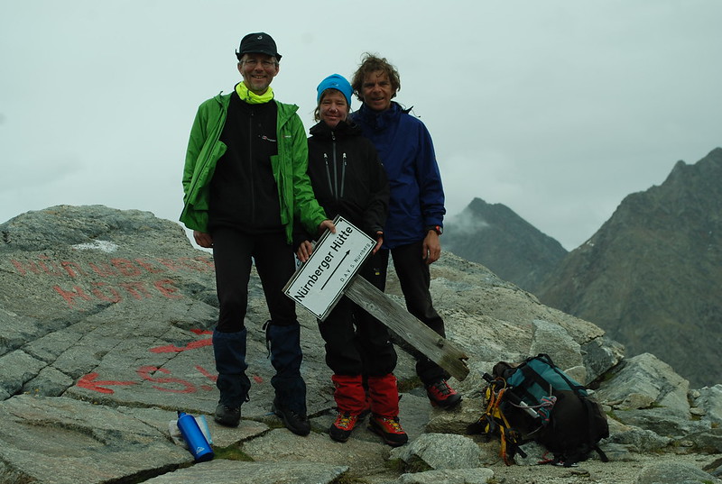
After the Zuckerhutl I went back from the Muller to the Nurnberger, and decided to try the Aperer Feuerstein, which is explained in full detail on the Nurnberger's website. As it says, its an interesting alternative to the path from the Bremer to the Nurnberger which I'd wimped out of a few days ago because it was cloudy and snowy and not a good day for venturing off the beaten track. But I was quite keen to look at the Feuerstein, and decided to be good by going for the Aperer first. Which made it a short day, so there was no need to get up early - ahem, but see later; I left around 8:30 with some hopes of visibility.

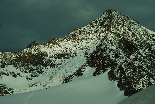
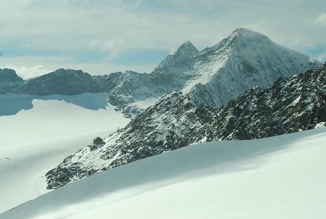
Before I show you the pix in order, here's an out-of-order pic of the Feuerstein group taken from the Niederl (the pass from the Nurnberger to the Sulzenau) at about 6 pm:
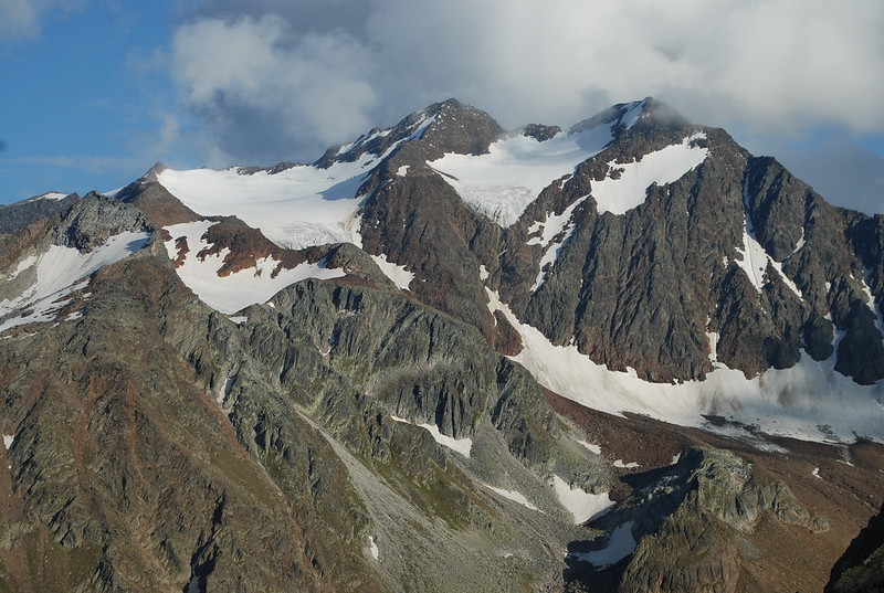
DSC_4391

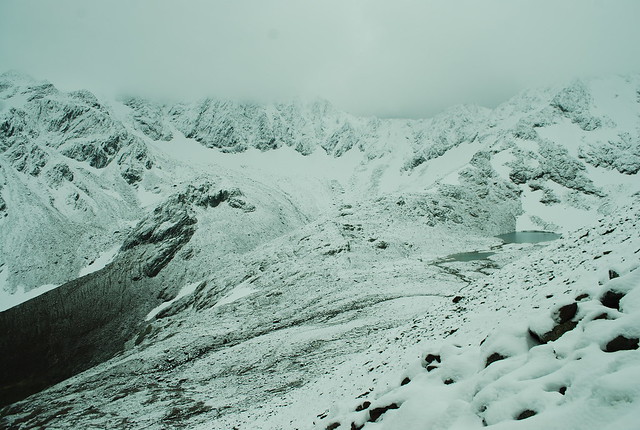
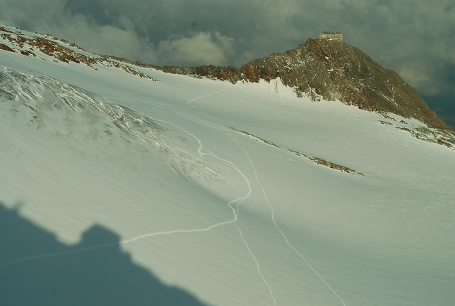
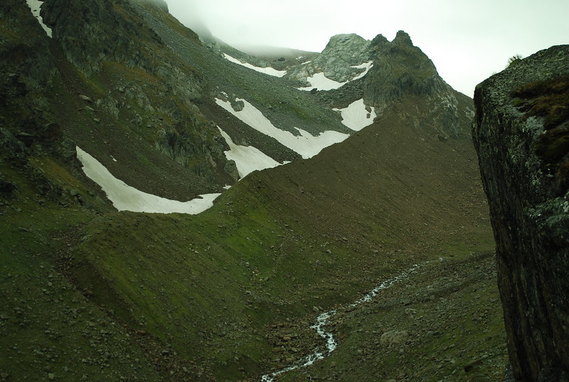
The skyline peaks are the Feuersteins: Westlich (3245 m, R) and Ostlich (3268 m, center). Its just about possible to see the summit cairn on the Aperer F in the full-size pix - its the greyish curvy ridge off towards the L just on the skyline; to its right is the distinctly redder pt 3038 not on the skyline, with the wide glacier to its R. The bottom of that pic - the snow patch in shadow at the R - is the top of the bowl visible in the top R of the pic below, which is taken from below as I walked up. Here's the GPS track for the circuit. I start off going down to the river as though to the Bremer, but then turn R up valley not L. I also have a slightly more informative picture from the afternoon return, when the cloud had cleared somewhat.
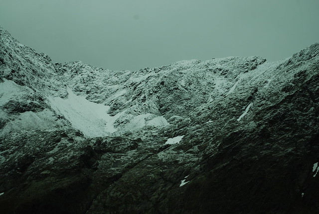
DSC_4341

I'd expected the path up to the Feuerstein to be hard to find, but no. It is but a thread, but its clearly there; later I realise this is because of people going up to the Feuerstein itself. There's a rather nice path up the rather nice moraine - I like moraines. At the top of the moraine the path goes into the bowl inside the peaks on the R, then curls East and follows another moraine crest up, with the Grublferner to your R. At that point I'm in the cloud, and things become unclear.

At around 2770 m I lost the track and veered too much R wards. When I realised I'd lost it I waited for a break in the cloud - no dice - then just faintly heard a noise which turned out to be the tapping of a ski-stick on rock - it carries well, and is distinctive even at the limit of hearing. Moving in that direction I just saw a bod descending as he moved out of range, and so re-found the path.

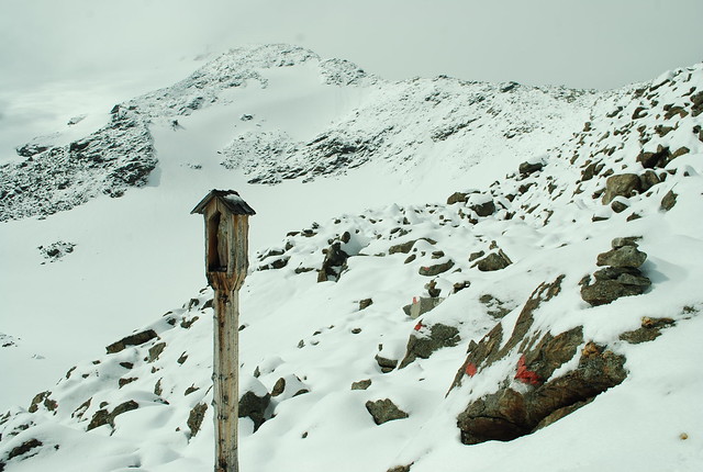
Somewhat later at 2900 m I'd gone too far East and would have ended up at pt 3038 m, except I met two bods who pointed out the error of my ways. In clear conditions I wouldn't have gone wrong, and if I had could just have cut across to the correct path; but in the cloud I descended (following them; I could have just retraced myself on the snow) and then found the correct path up. This wasn't helped by my now-20-year-old map having a very different shape to its glaciers; I really ought to get a new one. I leave my sack at the NurnbergerScharte - there's a cairn -, 2914 m, from where its a 15 minute scramble to the summit, 2968 m:
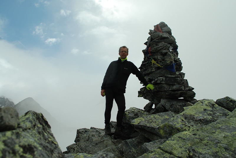
  DSC_4354

Views are still, well, here's the view up from the pass towards pt 3038:
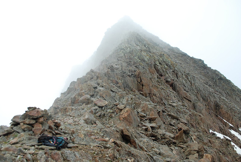
  DSC_4357

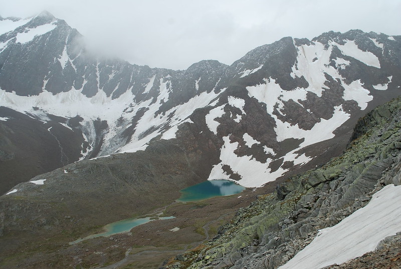
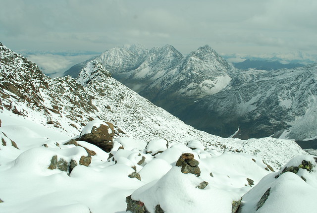
But the views down exist. Here's looking towards the Simmingjochl, with the Zollhutte just distinguishable. What a difference a few days make: all the snow is gone. The lakes in the pic are shown as glacier on my map; but the glacier has retreated over the years.
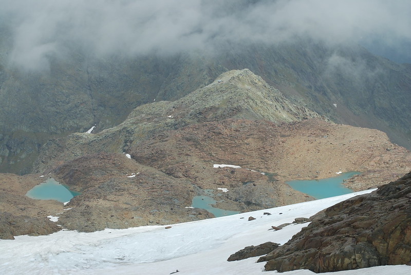
   DSC_4358

At this point it would be nice to rest and admire the views; but I got off late and I have miles to go before I sleep. But really this is a whole-day circuit, contrary to my blase assumptions of earlier. So, onwards. Pick a random path down the snow and to the pass. Descend. The Paradies is lovely but I've shown you that before; here's a nice still reflecty one in a little pool somewhat higher up:
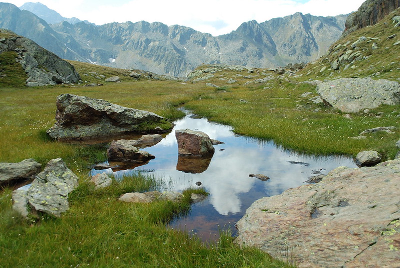
  DSC_4372

And so back to the Nurnberger. I set my GPS to recharge - it has about 7 hours in it - and sit out enjoying the sunshine, the Radler, and the Apfelstrudel. Then I have to pack my rucksac, and I reflect that bringing the Macpac as well as the Spire was a mistake: the correct solution would be to be a little more brutal in my packing - fewer clothes for cure, this becomes obvious as I accumulate a bag of stuff I'm using and another, lower, of stuff I just don't use - and then I can save myself another 2 kg by leaving the big sac behind. Farewell to the kindly Guardiennes.

I've agreed to meet M at the Sulzenau. At one point I'd offered to meet her at the Alm at 5; but that's not going to happen: set off at quarter to five, having offered her 19:30 at the Sulzenau by text. From here its a shortish - 50 min - slog up (GPS track) to the Niederl. Pause to admire the bench and the views back towards the Feuersteins - at last, see top. And indeed, over the far side. I get the quasi-classic view of the Wilder Freiger reflected in the lake above the Grunausee:
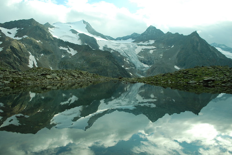
DSC_4403

And thence to the hut: 2:20 total for the crossing. Hello M.
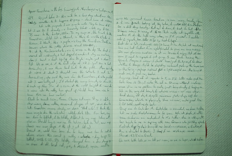
DSC_4966

Friday, 5 September 2014

Stubai: Friday 5nd September: Mullerhutte to Nurnberger

Yesterday: Wilder Pfaff and Zuckerhutl
Tomorrow: Saturday 6th: Aperer Feuerstein in fog from Nurnberger; Nurnberger to Sulzenau

Today dawns fair, which seems a shame as it would have been more useful yesterday.
  DSC_4302

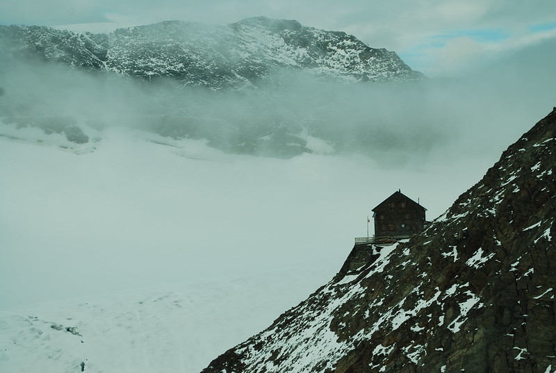
Looking closer, I can see the Z behind the WP, but it doesn't look like itself, so to speak. After a leisurely breakfast Anna and Tobias and I head up the WF side of the glacier, at their request; they aren't quite as blase as I am about crevasses, and who knows they may be correct (My pic shows us all roped up in the mist, I'd forgotten that). However, by the time we actually get up onto the snow - you can traverse straight from the back of the hut, don't descend first via the way I came up. The GPS trace would show this except I forgot to turn it on to start with - the cloud has come up again and we can't see a thing, so crevasse avoidance is a bit random. Here's a last view of the hutte before the cloud closes in:

DSC_4305

Up to the wetterstation, and then down the what-I-think-is-familiar path, but as usual whenever I think that there's a twist, and in this case the twist is that in the poor viz I've missed that whilst you can usually plunge down the nice snow instead of the nasty rocks, when you get to the last band before the "snow bowl" you need to make sure you don't descend too far. We do descend too far. Were I alone this would be no problem - I could just forsake the path, descend to the unnamed lovely lakes at ~2488 below the Urfallspitze, and follow the river down; a pleasant route. But A+T are going to the Sulzenauhutte and so need to get to the Seescharte, and I can't abandon them having lead them astray, so we slog back up, only about 50-100 m, well all right nearly 100 m says the GPS, cross the rock band and get back on track. And finally to the scharte where we parte:

DSC_4315

A little lower down I get a view across to the (as far as I know un-named) lakes, the un-named ridge behind it rising up to the Hohe Wand I think:
  DSC_4316

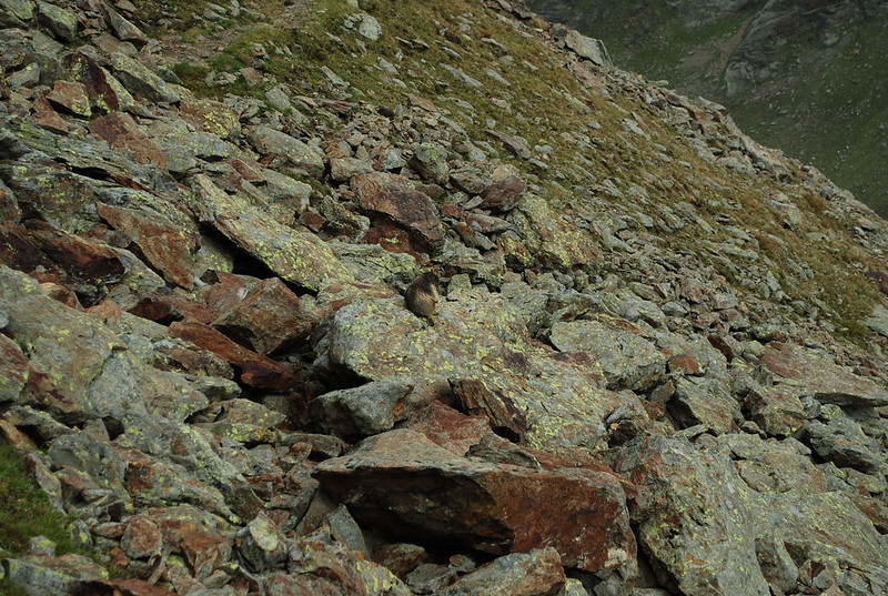
On the way down I hear and see marmots, which is not unusual, but I also get close enough for a not-just-a-pixel photograph, which is unusual, so here it is:

DSC_4320

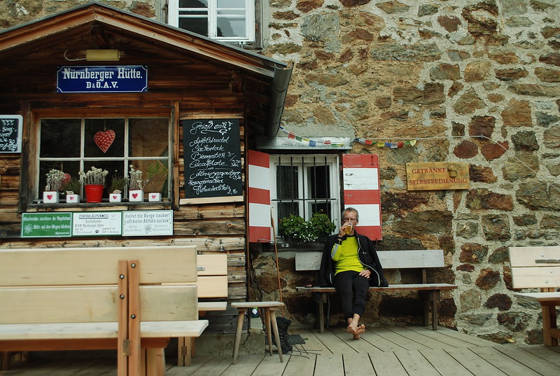
And then ein Grosses Radler at the hutte, and sit out reading The King in Yellow, which is weird (the initial story is definitely weird, but good. A later one does indeed turn out to be about the siege of Paris, as I guessed. And then the book segues into romance, which is odd. There is linking, in terms of style, and of characters, but the overall transition from horror to romance is unexpected). Ah, but I can now look it up, which I couldn't then. The Guardiennes remember me and smile, which is nice. As are the hot showers.

DSC_4327

Some Frenchmen beg my pardon and ask about the WF. They seem astonished when I suggest it may take them 6 hours. Was it OK? Yes, if you don't mind a bit of snow on the path and steep snow slopes higher up; if you take care not to get lost in the cloud, which is easy; if you're fit; and so on. Its almost impossible to give useful advice.

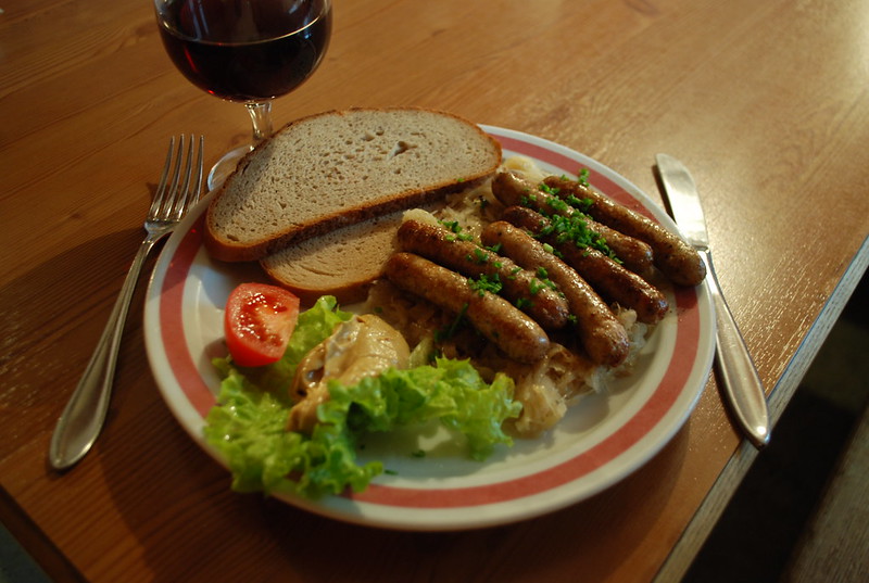
 Oh yes, and in the evening number one: food: six Nurnberger sausages on sauerkraut, with wine!
  DSC_4330

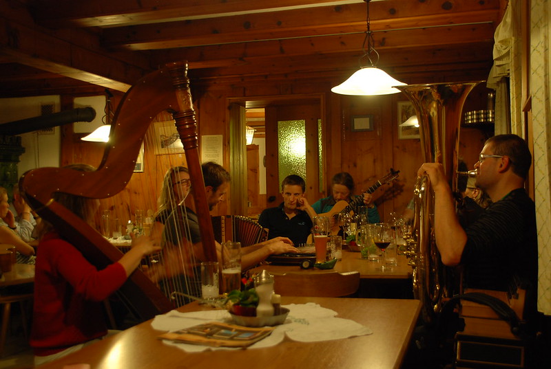
and number two: music:
  DSC_4333

That didn't happen every evening.

DSC_4965

Thursday, 4 September 2014

Stubai: 4th: Wilder Pfaff and Zuckerhutl

Next: Mullerhutte to Nurnberger

Prev: Wilder Freiger to the Muller Hutte

Note: this is a direct cut-n-paste of the Science Blogs post https://scienceblogs.com/stoat/2014/10/05/wilder-pfaff-and-zuckerhutl. I'm rather unsure why that didn't come across automatically.

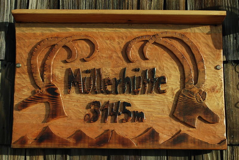
Having got to the Mullerhutte I finally had a chance to climb the Zuckerhutl, which at 3505 m is the high point of the Stubai and something I've wanted to climb for ages. My diary reminds me it was a cold night: the hut is quite high at 3145 m, and I was alone in my dortoir, and used two blankets. There were a few other people in the hut: two Germans, who I'd half-met on the Signalgipfel, and another group of four; not sure where they went. Naturally, being a reserved Englishman, I merely nodded politely at them.

Happily, as you saw from the last pix on that post, the weather was glorious going into sunset, which implied that the rather dubious weather we'd been having was finally due to turn. Mmm, yes:

DSC_4282

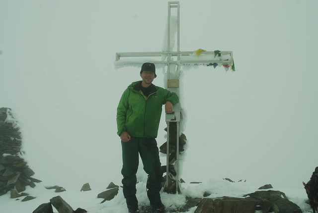
That's me on top of the Wilder Pfaff (its taken by one of Anna or Tobias, who I met "properly" on the summit). Since we were in 100% cloud, with additional light rain to dissuade me getting the camera out, I didn't bother take any pix of the route up. So here (from "tomorrow", taken from about the Mullerhutte) is the Wilder Pfaff (3458 m, R, the apparent high point on the skyline, and apparently-lower-but-actually-higher just peeking out from the L is the Zuckerhutl). Its not as pretty a pic as the one I used in my last post but its more informative as to the route:

DSC_4296

I found this view quite intimidating, which is part of the interest: trying to guess the route from looking at it - not that I could do that this morning, since viz was 25 m at best; on the glacier, I could see nothing except the tracks, which I naturally followed, taking care to follow the right branches and not head off to the Becherhaus. After a while rocks appeared out of the cloud, and the odd cairn and paint blob, but the marking is thin. It starts to be a bit scary, with a sheer drop off to the R. To the L is snow / rock, initially easy but steepening higher. The ridge is generally narrow, with the odd awkward step or pull, and (only one?) cabled section. Easier with better viz, I'd imagine.

DSC_4489

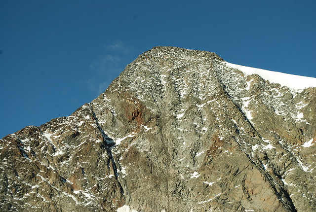
This is the view from the East, taken from about the start of the Lubeckerweg ridge, on the 8th of September. Look closely and you can see the summit cross. Here is a zoomed-out view from the same viewpoint. And here's another, from the summit of the Wilder Freiger, on the same day.

As I said, the weather was grey so whilst I'd got up at 6:30 I didn't trouble myself to leave until 8; A+T had left somewhat earlier. I'd climbed fairly quickly so met them just as they were getting to the summit; photos and sign the summit book all round. Oh, and here's the GPS track (something weird happens in the middle, the GPS gets the descent from the WP but totally fails to register the height gain up the Z. Odd).

What to do now? Sit down for a little rest of course, and ponder the (unknown) route to the Zuckerhutl. Decide to go for it; the route down to the Pfaffensattel is easy, and I'll take it from there. Or we will, since we'll go together.

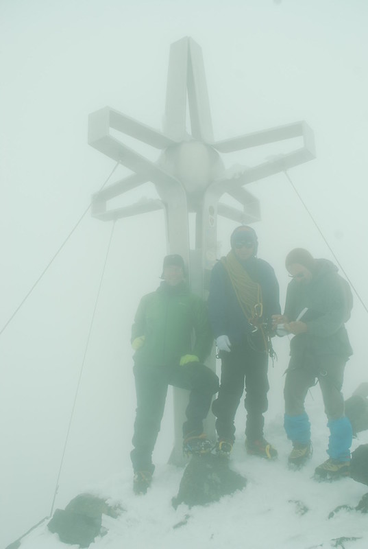
Take care not to follow the branch of tracks that leads to the Hildesheimer hutte (I've not been there); faintly to the left is the edge / cornice which we don't approach too closely, and then there's a short climb up snow with the Zuckerhutl presumed to loom above. In better wx I'd consider the north face but as it is I'm happy to follow tracks. A party of three comes steaming back down the track - two young clients and a guide - and the guide shouts something in German that I'm informed is "you should be roped up if you're on a glacier". Meh. We start up the rock. Soon we come to a point where it gets interesting, sufficiently so that A+T aren't happy to proceed unroped - there's enough snow that the holds are covered, but not enough for the crampons to grip reliably, and sometimes you get that nice effect when the first time you try it, its all fine because there's enough snow, but the second time you've knocked the snow off and your crampons screeek across rock. I'm moderately happy to bumble on up and treat it as nice mixed ground, so after improvising a harness out of a sling (they have all the proper kit, I of course have none) I take the rope up. It turns out the difficult section is quite short and we de-rope after 25 m and thenceforth continue scrambling; other groups however stay roped. The top comes earlier than expected, but not earlier than I should have expected, since the saddle is at 3344 m. The wx is still rubbish:

DSC_4288

I'm the one on the left. The guy on the right is composing a Norse epic in the summit book. Its moderately windy on the top which is annoying mostly because its blowing water droplets onto my glasses and I can't keep them clear; that doesn't improve the viz. Its also getting to that point that whilst I'm not cold now I can feel I will be in a bit, so we don't stay long. The descent is a bit yukky but OK; we don't rope up because we find the right route :-). The route wasn't obviously marked - but might have been under the snow - but there were occaisional "running belay" gear, which I've not seen elsewhere - kinda G-shaped metal hoops that you could fairly safely put the rope into and trust it not to come out, but you could do this quickly. We have to wait for 5+ mins for one of the roped parties to clear, which finally does make me cold. Then we get to tramp back up the WP and descend its ridge, which is also yukky-but-OK.

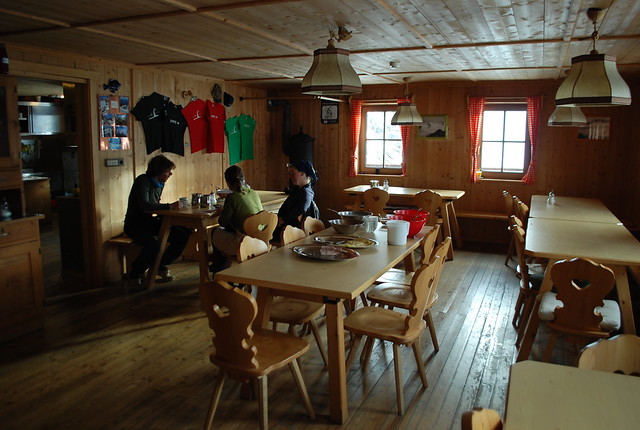
And so back to the hut. I do consider rushing back down to the Nurnberger and its hot showers, but sanity prevails and I don't. Later on the weather clears a little, but too late. A+T join me for the evening meal, which is again good. Here's the hut interior main room from breakfast the next morning.

DSC_4303

Total time for the lot: 5:45.

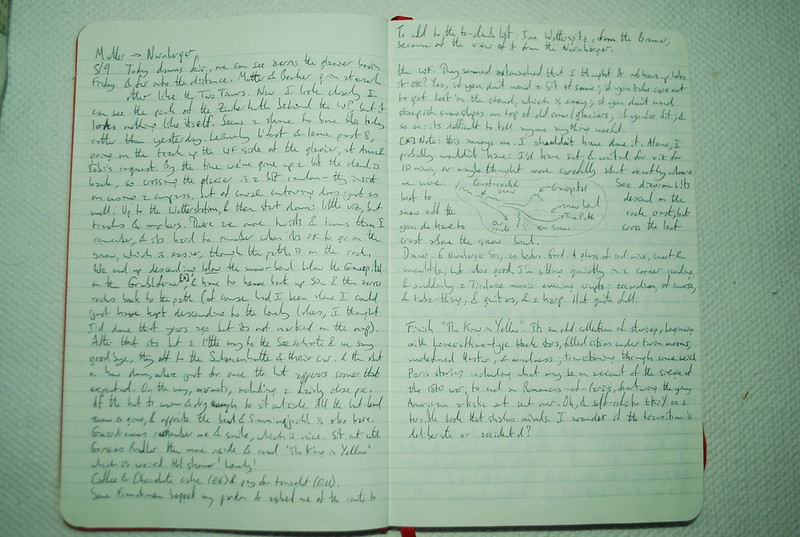
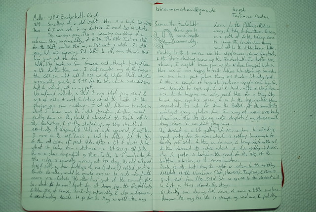
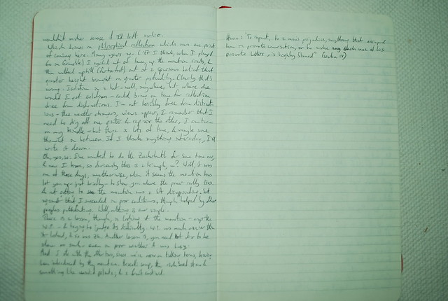
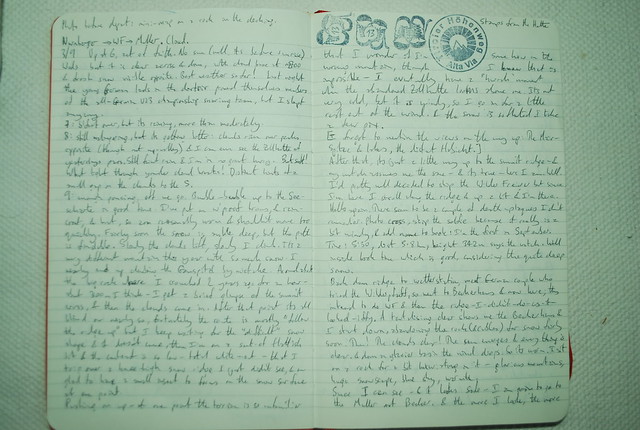
Diary

DSC_4963

DSC_4964

Wednesday, 3 September 2014

Stubai: 3rd: Wilder Freiger to the Muller Hutte

Next: Wilder Pfaff and Zuckerhutl 

Prev: Rest Day

Note: this is a direct cut-n-paste of the Science Blogs post https://scienceblogs.com/stoat/2014/09/24/wilder-freiger-to-the-muller-hutte. I'm rather unsure why that didn't come across automatically.

After the Habicht I walked across to the Bremer hut and then the Nurnberger, and my next mountain was the Wilder Freiger. Its not difficult (incidentally, for a nice piece about the same region from the viewpoint of someone more cautious than me, see here) and this would be my third ascent but conditions were less than perfect:

DSC_4217

That's a view across the valley to the Simmingjochl, yesterday's route from the Bremer; look closely and you can see the Zollhutte on the skyline. I'd got up at 6 as an act of faith, but the snow, and the cloud base at ~2700 m, and the subsequent rain made me linger over breakfast and I didn't actually set off until 9. If you want to follow along at home, here's the GPS track.

Looking SW, from about 2700 m, towards the cloud-shrouded Feuerstein. The lake is the unmarked lake at 2500 m below the Grublferner.

DSC_4221

A bit higher up, looking NNE towards the Habicht:

DSC_4224

The skyline peak just R of center is the Innere Wetterspitze, the low point to the R of that is the Simmingjochl again, heading L are the Aus. W. and the Rotenspitz. And distant between them, the Habicht. I think. Mountains are pretty hard to do from photos.

Even the cairns are getting covered with snow. The fun part here is that you're walking over a boulder field, though which is traced one path which is (underneath all the snow) moderately level underfoot. But with all the path markers covered its easy to miss a twist of the path, at which point you start falling over the junk hidden under the snow.

Of course, I didn't take photos in 100% cloud so you don't get the right effect; but it was sufficiently hard to find the route that I nearly climbed the Gamssiptzl by mistake; which would have been a dreadful faux pas. Fortunately Jesus saved me:

DSC_4225

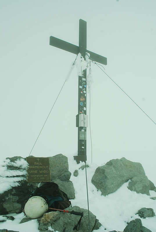
(Although I admit, a little later when the cloud had cleared you'd have to be a total bozo to miss this clue). The route continues down into the snow bowl then up the snow and along the ridge ahead; the top of the easily visible portion is ~3200 m, and peering L of that you can just see a bit of rocky stuff which is nearly the summit (well, probably the SE summit, Signalgipfel) at ~3350 m. Again in cloud, after a period of whiteout with zero contrast such as I've never come across before, I stumbled across the welcome but sadly unphotogenic abandonded customs hut, before reaching the True Summit (on the left) and the Signalgipfel (on the right):

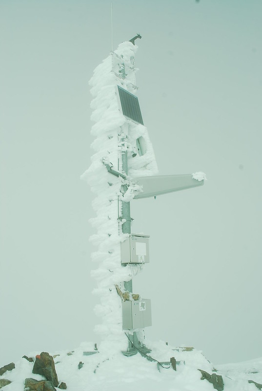
DSC_4236 DSC_4238

I offer the weather's apologies for not providing a nice clear blue sky to photograph both against. In my own defence, I hung around for about 15 mins hoping for a better pic of the AWS. The easiest way down from the summit to the South is very well marked and secured:

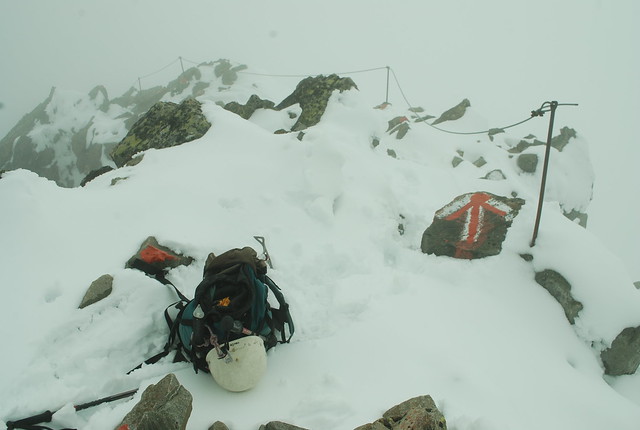
DSC_4242

because its the route to the beautifully but absurdly situated Becherhaus or Rifugio Bicciere, which can't make up its mind if its Austrian or Italian. Its absurdly photogenic which is great if you're taking pictures, but if your aim is to actually get to the hut, you need to slog up 100 m or so:

DSC_4244

In the distance the Botzer (wiki has a charmingly antique pic) which is now on my list. Its only 3250 m, but is across the fairly extensive UbeltalFerner. But I was going to the Mullerhutte:

DSC_4254

so the easiest thing to do is to drop off the ridge onto the glacier, keeping close-ish to the ridge so that you can pretend that crevasses never reach to the edges, errm, and then follow someone else's tracks across because its an invariable rule that if someone else didn't fall into a hidden crevasse, then neither will you. Zoom in on the GPS trace in "satellite" view at the inexplicable zig at the end and you'll see.

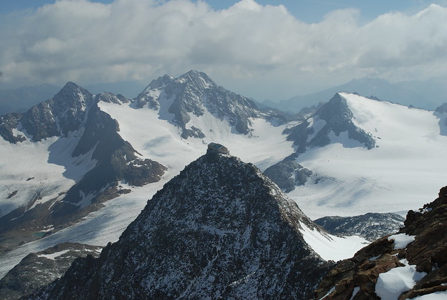
The apparent high point on the skyline is the Wilder Pfaff, 3458 m, and apparently-lower-but-actually-higher is the Zuckerhutl, 3505 m. But those are stories for tomorrow. Finally, the weather was good enough that I could sit outside in the sunshine, at least briefly:

DSC_4271

The Becherhaus and Mullerhutte stare at each other across the vale like Two Towers:

DSC_4267

Video of Nurnburger to WF to Mullerhutte to W Pfaff to Z and descend the Sulzenauferner. Or you may prefer the Dent du Geant.

Diary

DSC_4961

DSC_4962

Tuesday, 2 September 2014

Stubai: Tuesday 2nd September: rest day

Yesterday: Lauterer See and Bremer to Nurnberger
Tomorrow: Wilder Freiger to the Muller Hutte

I'm the sole occupant of my eaves dorm - the weather doesn't make for a full house. I'm not awakened by shafts of sunlight puring in through the skylight, but this is no surprise. What to do with the day? My groaning body as well as the weather argues for a rest day. Apart from my thighs feeling strained, my left ankle bone rubbing against the boot is painful.

The reason for not having a rest day is: what will I do? Won't I be terribly bored? But I decide to turn that into a positive: having not really had a rest day for further back than I can remember, it will be good to see what happens.

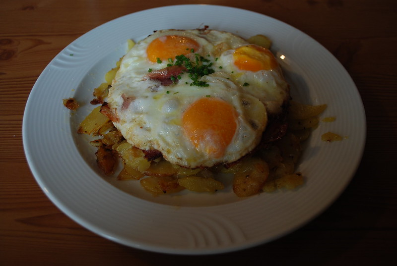
Spend the morning reading Herodotus - Kindle is borked. Text M so she can google the reset. This was my lunch, nominally only an appetiser but I barely finished it:

DSC_4214

4 pm: coffee and cake.

5:  Walk down path a ways from the hut for some fresh air and to get the phone some network. Ankle still hurts. text from M: hold down the power switch for *20* seconds: aha, that works.

6: Dinner: salad from buffet and BergSteigerEssen (spag bol; OK-unexciting-but-filling, which is what BSE is supposed to be). GastStaube full. Quick shower,because they're free.

Lay out kit for tomorrow, with the idea of being able to get up, b'fast and off with least delay. Set alarm for 6. Plan is to take a small selection and go up to the Muller hutte or some such over the Wilder Freiger, and have a shot at the Zuckerhutl, which I've wanted to do for ages, and now is the perfect chance - I have plenty of time before needing to meet up with M. this assumes conditions are plausible, which seems doubtful, but we'll see.
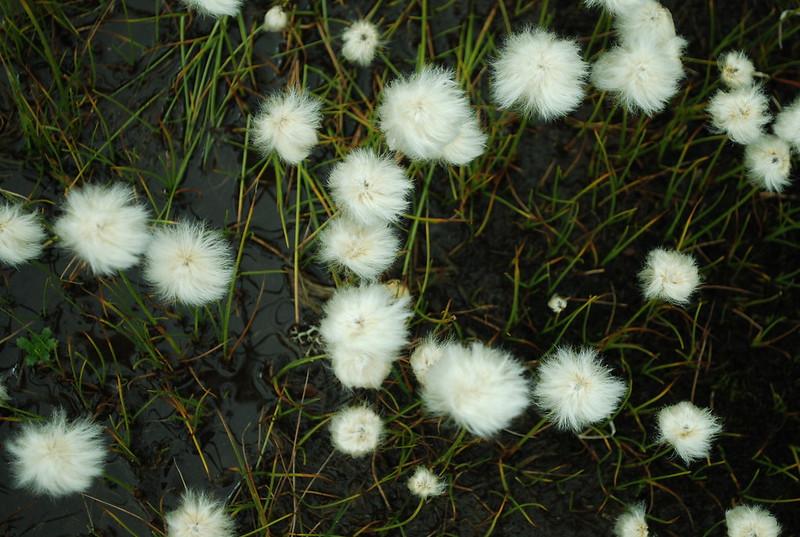
I don't have any other pix from this day. So here's some bog-cotton-grass from near the hutte from later on:

DSC_4323

DSC_4960

Monday, 1 September 2014

Stubai: Monday 1st September: Lauterer See and Bremer to Nurnberger

Yesterday: Habicht and Innsbrucker to Bremer
Tomorrow: rest day.

Overnight I'm in dorm #8 with some mixed US / UK types; its about a 5-person room. Sleep well. Awake about 7 to cries of "Its snowed!" Whilst I can admire their youthful enthusiasm I cannot share it; instead I quietly groan "Oh, great" to myself and sleep in for a bit. That, and the total cloud, precludes anything exciting for the day. I'd half-planned the xfer to the Nurnberger via the Aperer Feuerstein but I think that needs to be revised now (but see Saturday the 6th).

Last night I'd talked to some English-type folks who had done the "klettersteig" from the lake and they said it was easy. So I rather regretted not taking it, and wanted to go have a look so I'd know for the future; a perfect project for a cloudy morning. After a leisurely breakfast I toddled over; its 1 km and takes about half an hour or so each way. GPS track.

Here's a view from the lake back towards the hutte (notice how I'm inconsistent there? I use "hutte", but "lake" instead of "lac" or "see". Well, never mind):
  DSC_4168

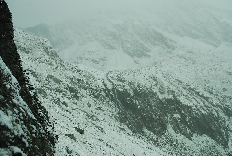
You see the path wending across the slope and heading towards what looks like a rather unpleasant rock band. But in fact its fine; that's where the "klettersteig" is, of course.

Also, since I'm being self-indulgent, here's towards the lake:
  DSC_4155

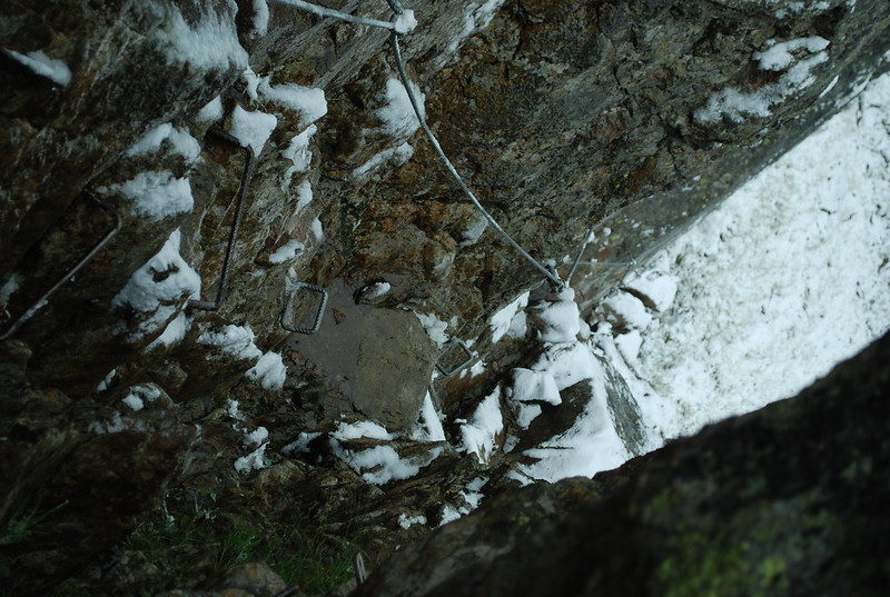
As I'm sure you've noticed it was a fairly grey day. Here's my best shot at making the "difficult chimney" look as exciting as possible:

DSC_4175

Since it really was a fairly narrow chimney its quite hard to photograph; here is a view looking up, from the start. As you can see, there's piles of ironmongery and you can see that with even more snow, it might be hard to climb or descend.

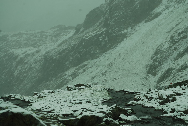
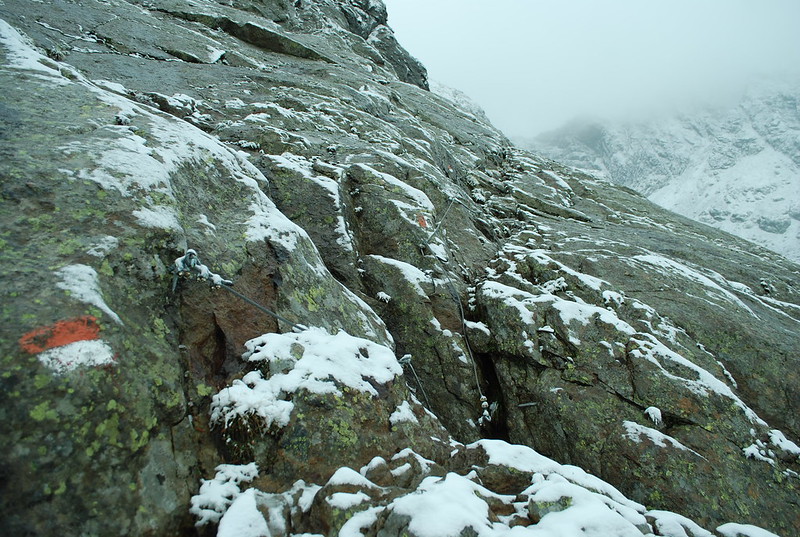
In fact, that's not the only tricky bit, there's also the "difficult slab". As you see from the below, its not all that difficult, or rather it wouldn't be in good conditions. But in the wet its smooth and slippy, and with a bit more snow (and last year there was lots and lots more snow) you'd have trouble finding the cables. And about 5-10 m to the right is a sharp drop-off, as show in the very top pic.

DSC_4176

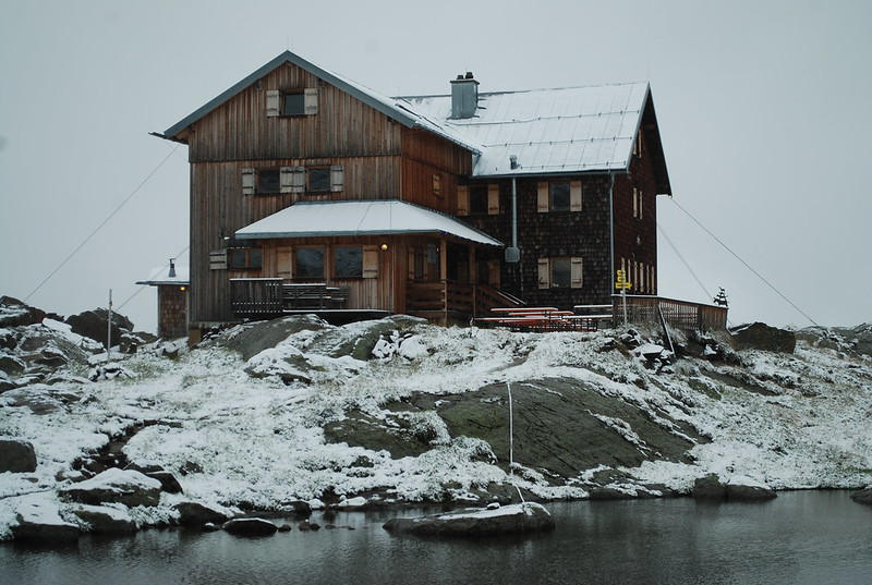
By 10:40 I'm back in the hutte, and I'm the only guest; everyone else has gone down (various people at breakfast had been talking about going over to the Nurnberger, which was what they actually wanted to do, but one by one they'd talked themselves out of it). The Guardienne looks rather dubious when I tell her I'm going across. I promise myself that I'll turn back if it looks iffy. But, not to build the tension too much, it all turns out to be fine. Before I leave, here's the Bremer in the snow:

DSC_4178

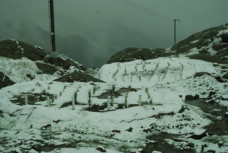
And for those interested in ecology-in-action-in-the-mountains, here's a pic of the water waste processing reed beds at the hutte. Last year, while we'd been there, we'd watched with great interest while workmen drilled and then dynamited out some rock near the hutte, in preparation for this. Clearly the reeds haven't had time to grow properly yet.

DSC_4183

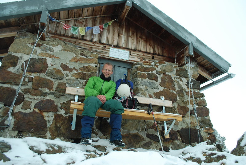
The crossing to the Nurnberger is 6.4 km, took me 3:55, 500 m up and 600 m down, and I start just before 12. 2 hours to the Joch at 2754. GPS track. Going up to the pass I met a man coming down, and felt faintly disappointed not to be pioneering on the day. But having a fair guarantee that it was passable, and tracks in the snow, was helpful. On the other side I met a few others. Here's me at the Zollhutte at the pass:

DSC_4188

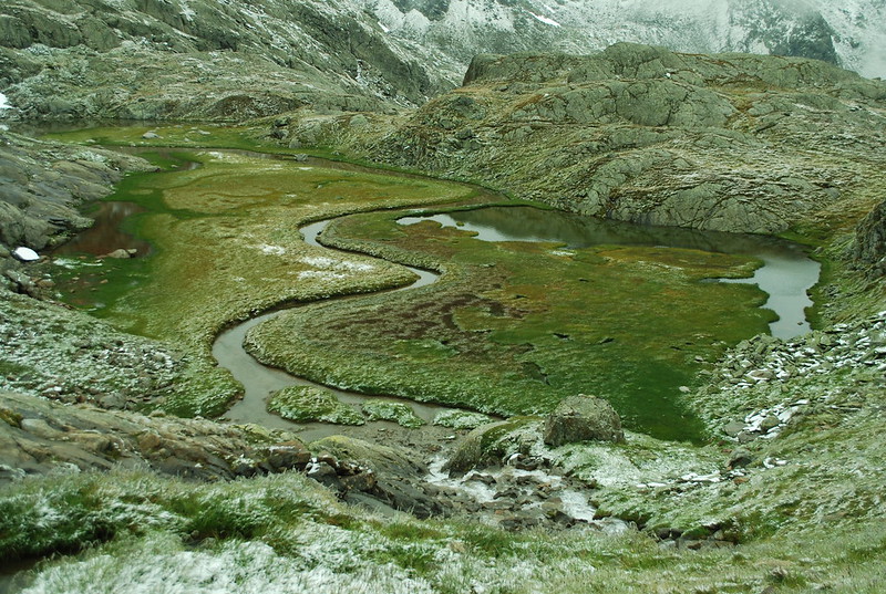
Climbing up to the Joch was hot work, so I'm sitting around up there until I got chilly again. After that its down the rocks and the short-cut snow slope quite rapidly to the "Paradise" (view down from the col; view back up towards the col. Perhaps slightly more usefully, view from Nurnberger taken on the 3rd when the cloud was clear; you can just see the Zollhutte on the ridge line). The Paradies is lovely even in the snow, the sinuous line of the river is alluring:

DSC_4196

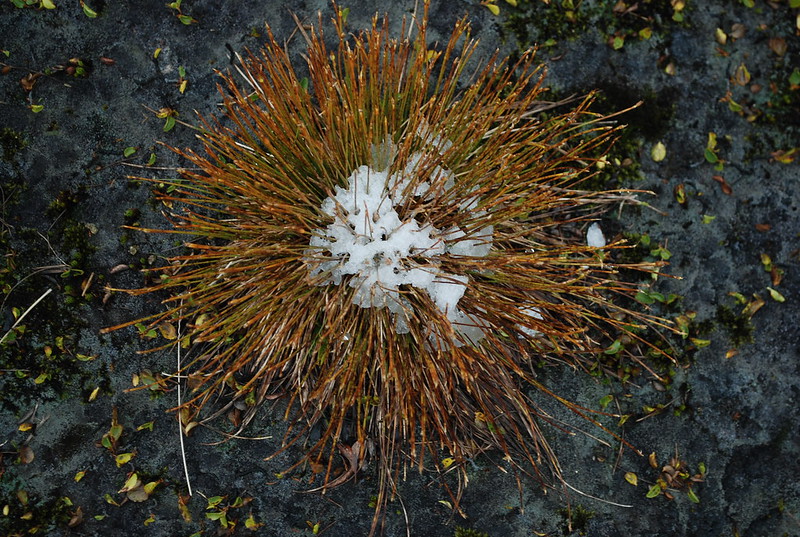
Snow effects on the plants were fun:

DSC_4208

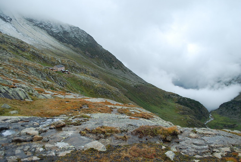
But it was nice to get to the Nurnberger:

DSC_4210